DAY 13
27th December 2020
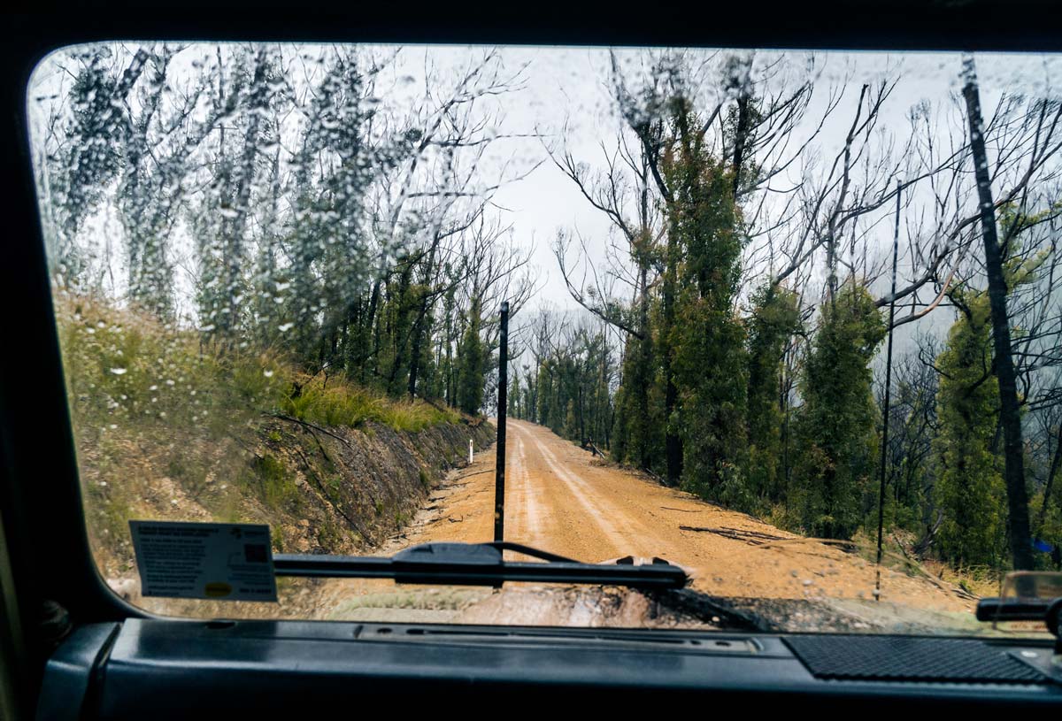
We left the Abercrombie River and drove to the Wombeyan Caves via the Taralga Road. The first half of the Wombeyan Caves Road was good, the fires must have been through this area so they were in the process of fixing up the roads. This meant that the dirt roads were in really good condition!
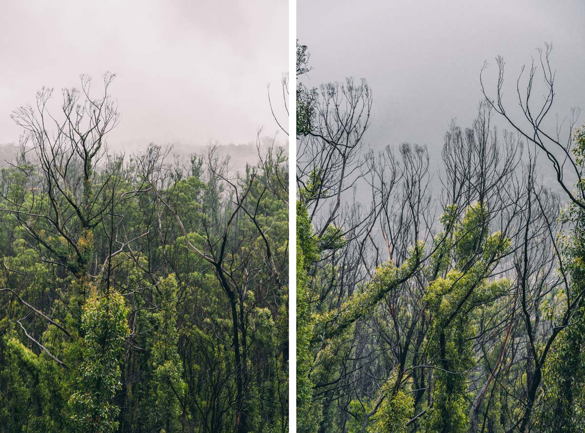
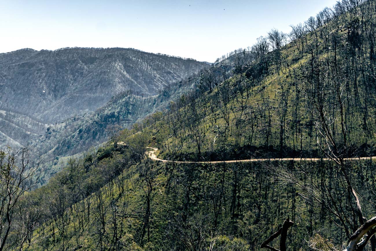
We got to the Wombeyan Caves campsite and caves and there were SO MANY people in the campsite. The caves weren’t open either, so there wouldn’t have been much for people to actually do there. We continued on along the Wombeyan Caves Road. At the time of writing this (June 2023), this road is still one of the sketchiest roads we’ve ever driven on. Not only was it single lane and dirt, but it was also in poor shape in places, with no fences, no passing places, dangerous drops off the side and about 30km of winding roads. We passed a few people who looked very scared to be driving along there, including some in cars who definitely should not have been on that road. I hope the people who took their caravans down to the campsite came at it from the other side, as it would be truly dangerous from this side!
We made it back to civilisation, pulling into Mittagong to get food and to have lunch in a park.
We then drove south towards Nowra, stopping there next to the river to use the facilities. I don’t think I’ve ever actually stopped at Nowra, despite having gone past there lots of times!
Our camp for the night was Yerriyong State Forest. This was just off the Princes Highway near to the turnoff to Culburra Beach. We met a French couple there and had a chat to them. It was an ok site – just a clearing in the bush really. No facilities, but I did have a shower in the tent!
DAY 14
28th December 2020
We left the campsite early and had breakfast at Penguin Head in Culburra Beach. It looked so different from what I remembered – the sleepy seaside village that I used to holiday in had turned into a beachy holiday destination, with fancy coffee and cafes. A lot of the houses didn’t look like they used to either, including our old house, which looked really good! We had a look out at Greenwell Point, which had also changed a bit, then kept driving south.
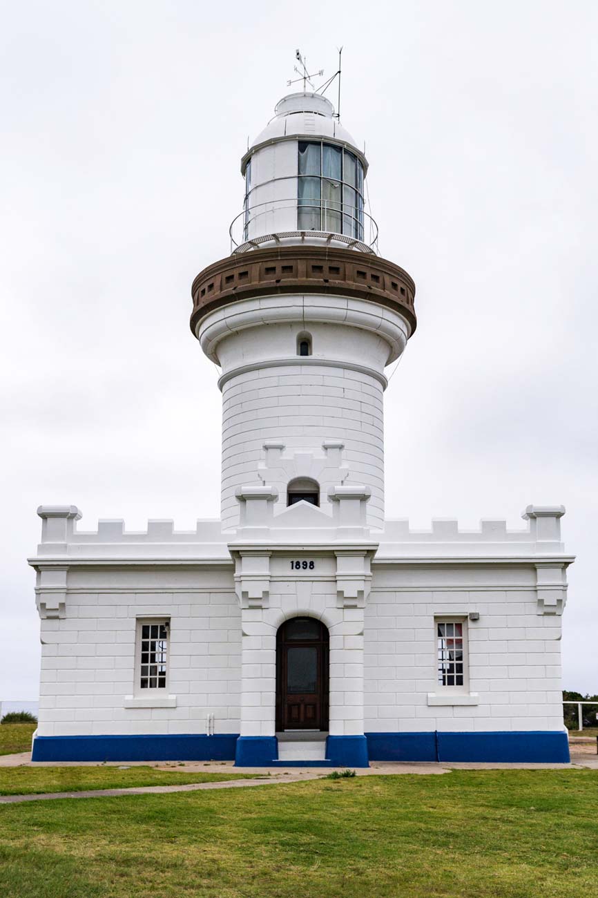
We drove into the Beecroft Weapons Range on the Beecroft Peninsula to go to Honeymoon Bay. The weather wasn’t particularly nice this day, but the campground was full. We had a walk around the beach – it definitely didn’t seem the same as it did when I was a kid. It had become much too touristy. We went to the old lighthouse and homestead on the point though, which was interesting.
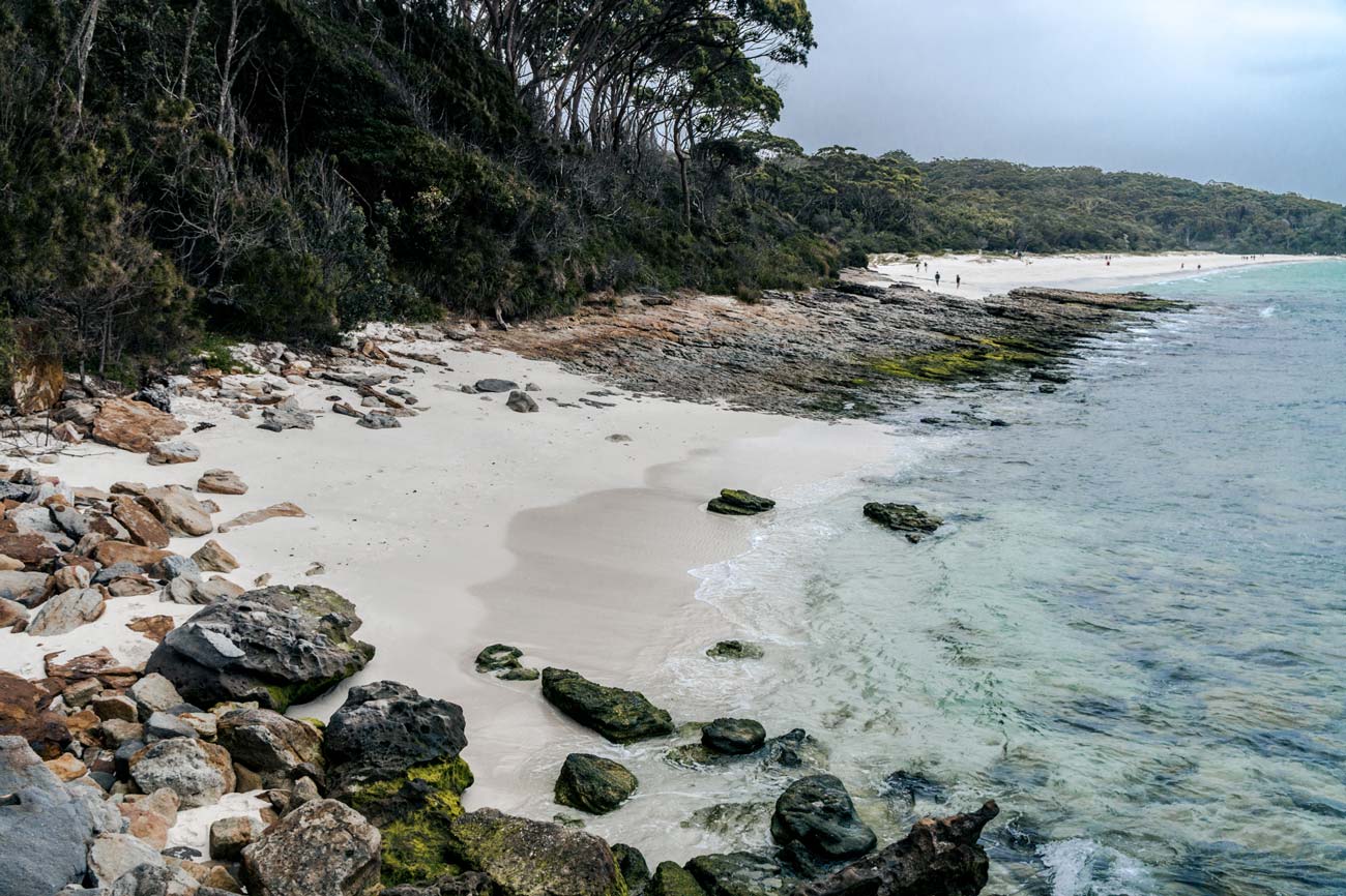
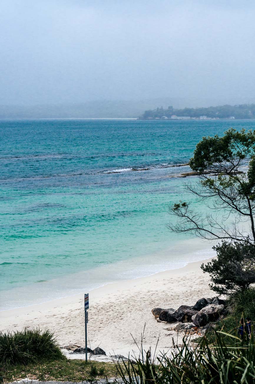
From there we went to Hyams Beach. The “whitest sand in the world” proposition by this beach was one of the running jokes of the trip, as we saw plenty of other white sands around Australia!
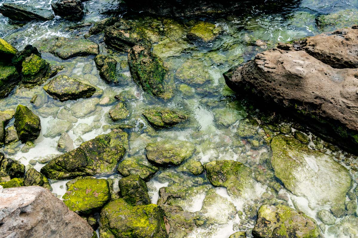
We had lunch at Bendalong Point, which was a nice little beach, not overly busy. We were eating lunch and looking at the water and it turned out that there were manta rays swimming around the legs of people in the water! Right at the shore! We couldn't stay there too long unfortunately, but I would have loved to get a closer look at the rays!
It was so busy at the coast, being Christmas holidays, and there were very few free camps that we decided to head back inland.
We drove through Shallow Crossing State Forest, then onto the Kings Highway. This was a very cool road – winding and misty at 770m above sea level. We drove through Braidwood (that’s a nice place!) and stopped at a rest area outside of the town for the night.