We did a lot of driving today, mostly due to a lack of camping areas across the top of Scotland. We could have wild camped, but the ground was mostly boggy in this area that was renowned for its peat, and covered in tundra.
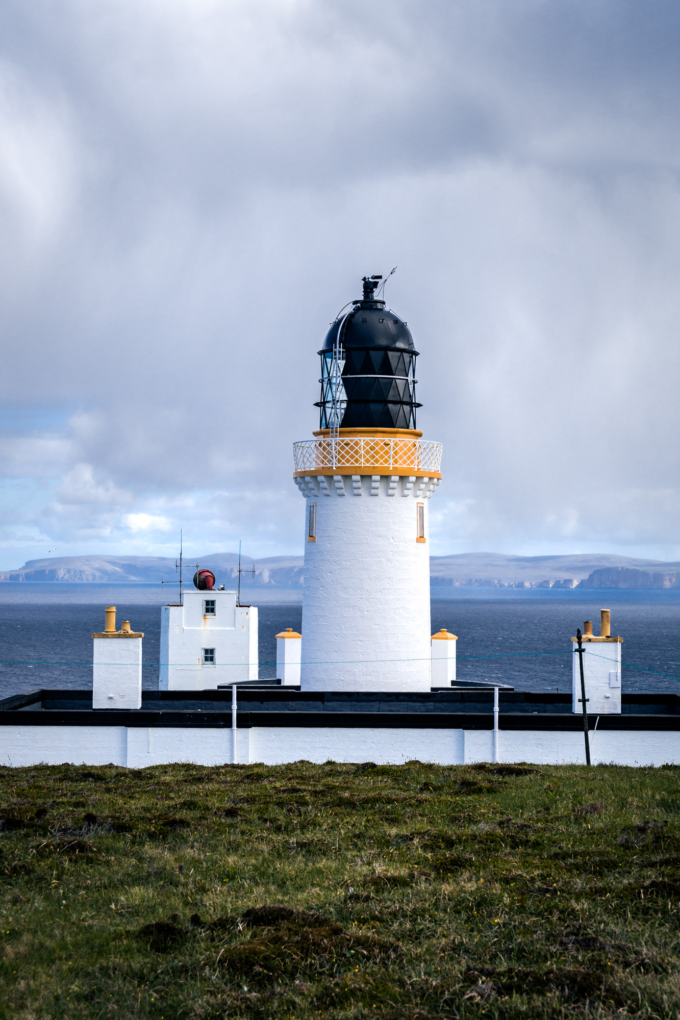
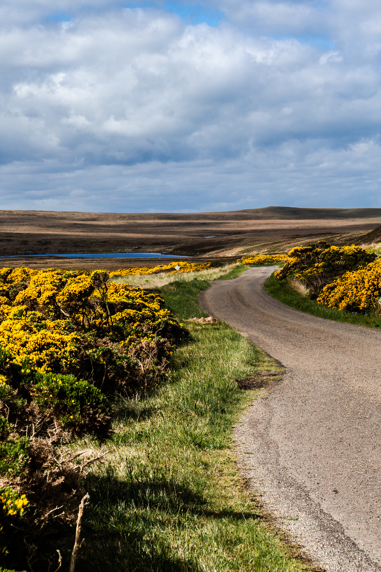
We left the campsite at John o' Groats at 8am, and drove a short distance out to Dunnet Head Lighthouse, a lighthouse that was built in 1831 and is the most northerly point of mainland Britain. To get there, we had to drive up a not particularly well-kept single-track road across a fairly wild bit of land. It seemed like a very lonely place. There were quite a lot of WWII bunkers and things around Dunnet Head, but very little else.
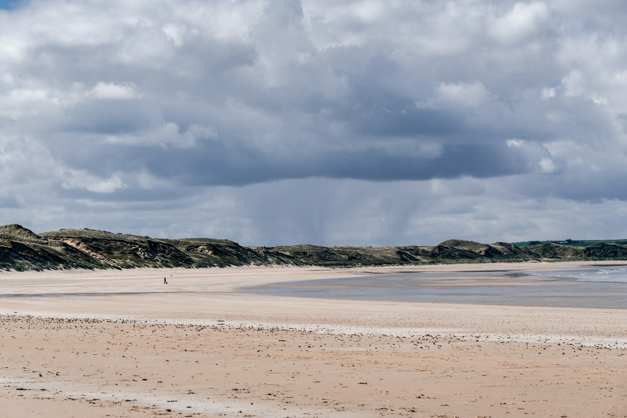
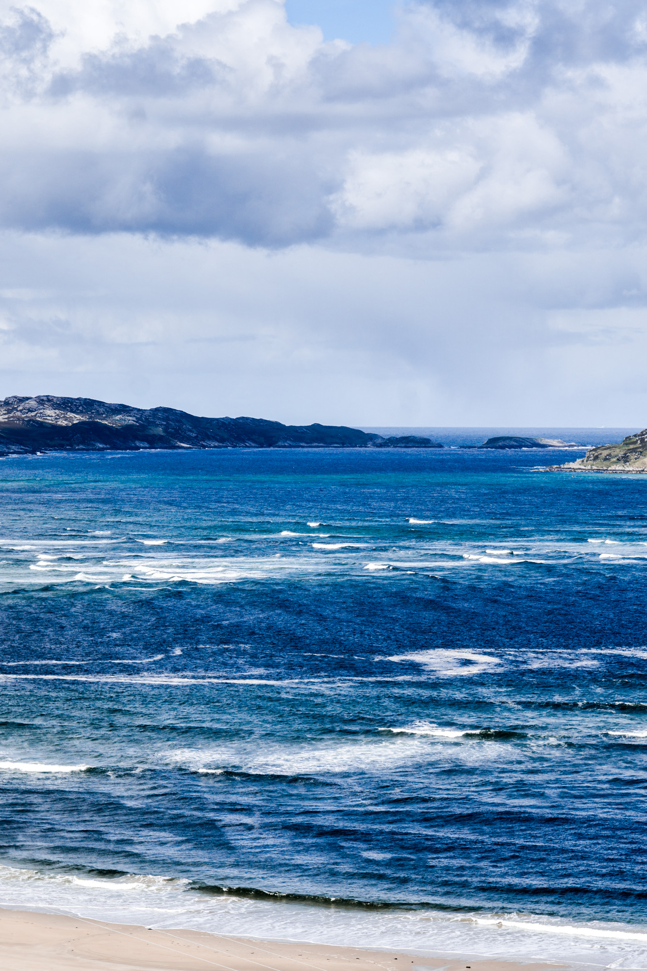
We left Dunnet Head and drove down to Dunnet, where we stopped to have a look walk along a beach there. It was another sandy one and the tide was quite far out.
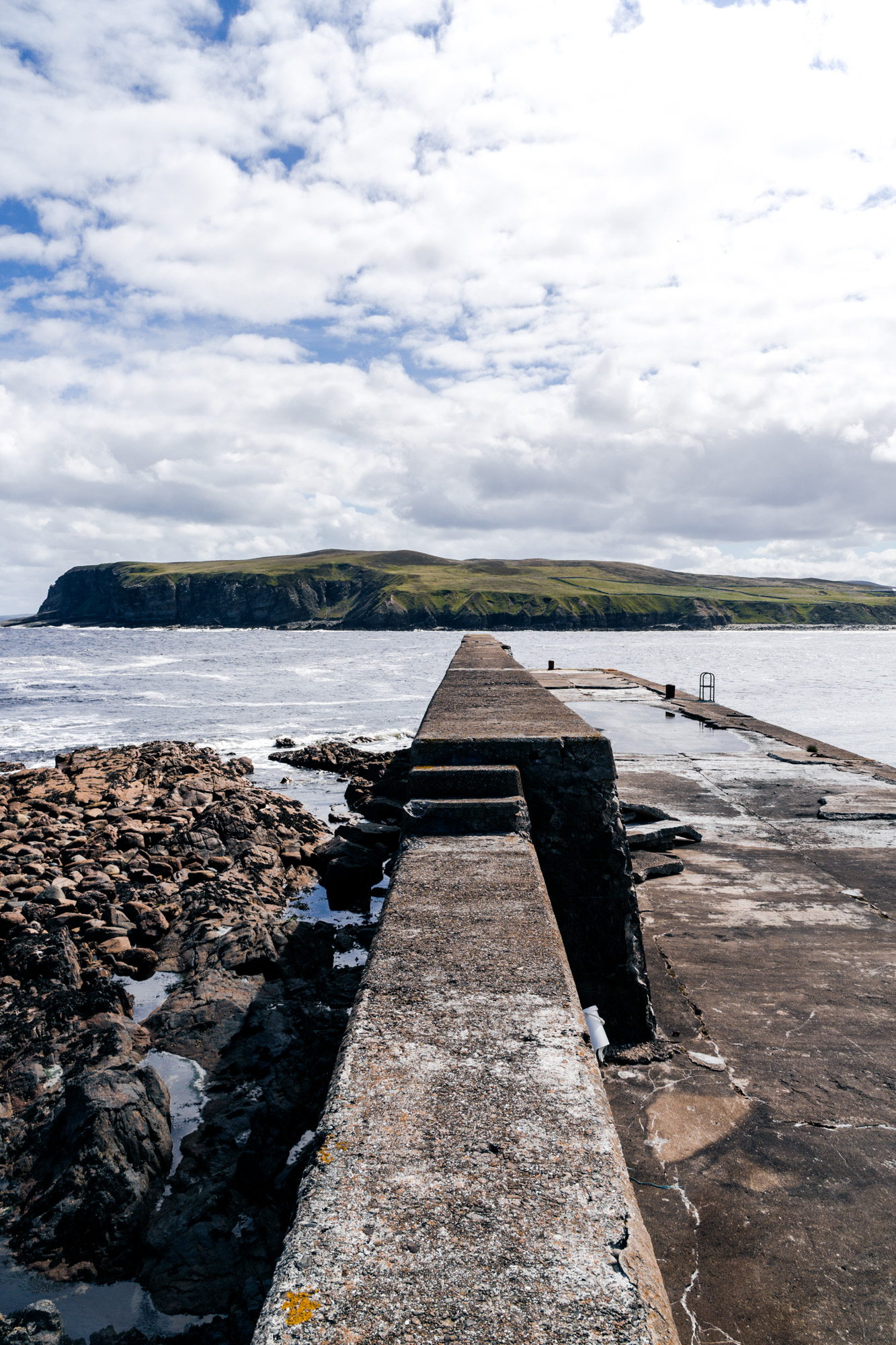
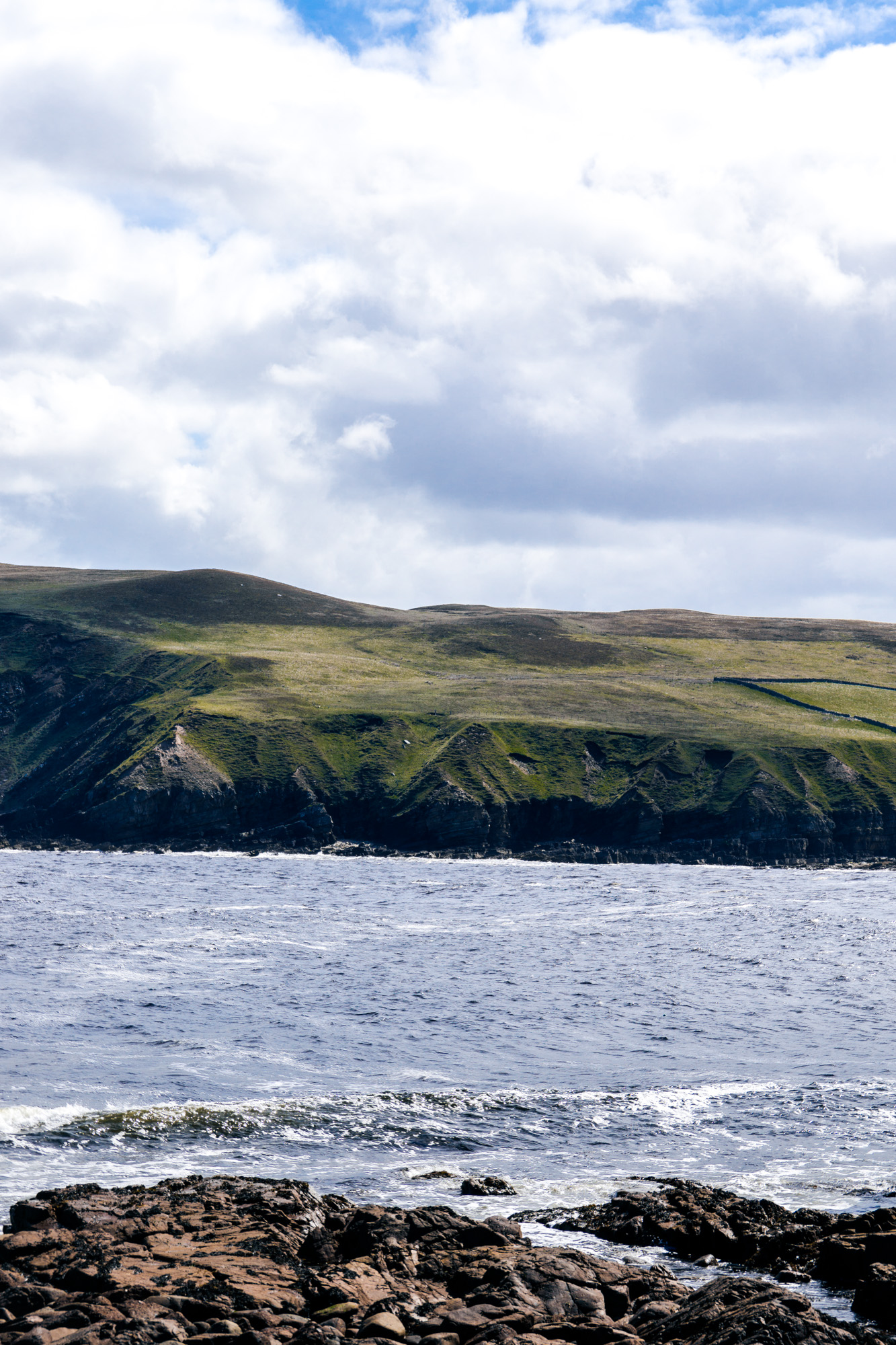
Our next stop was also a beach, at a place called Portskerra. We could see this little bay from the main road and decided to go down and have a look. After driving around the tiny little roads of the village, we finally found the way to the beach and parked. It was a pretty area, quite remote though!
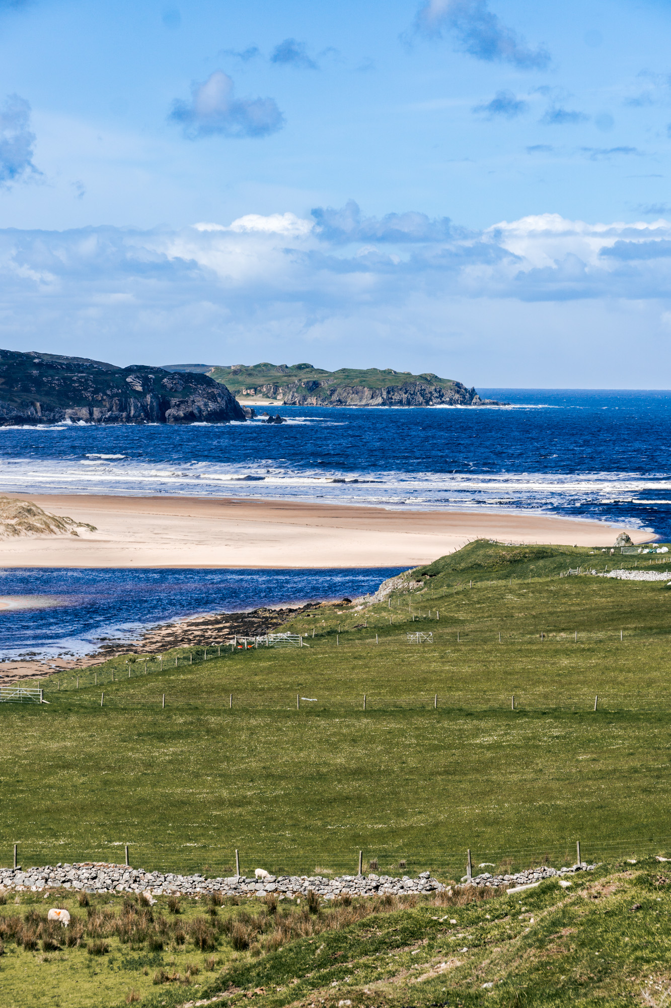
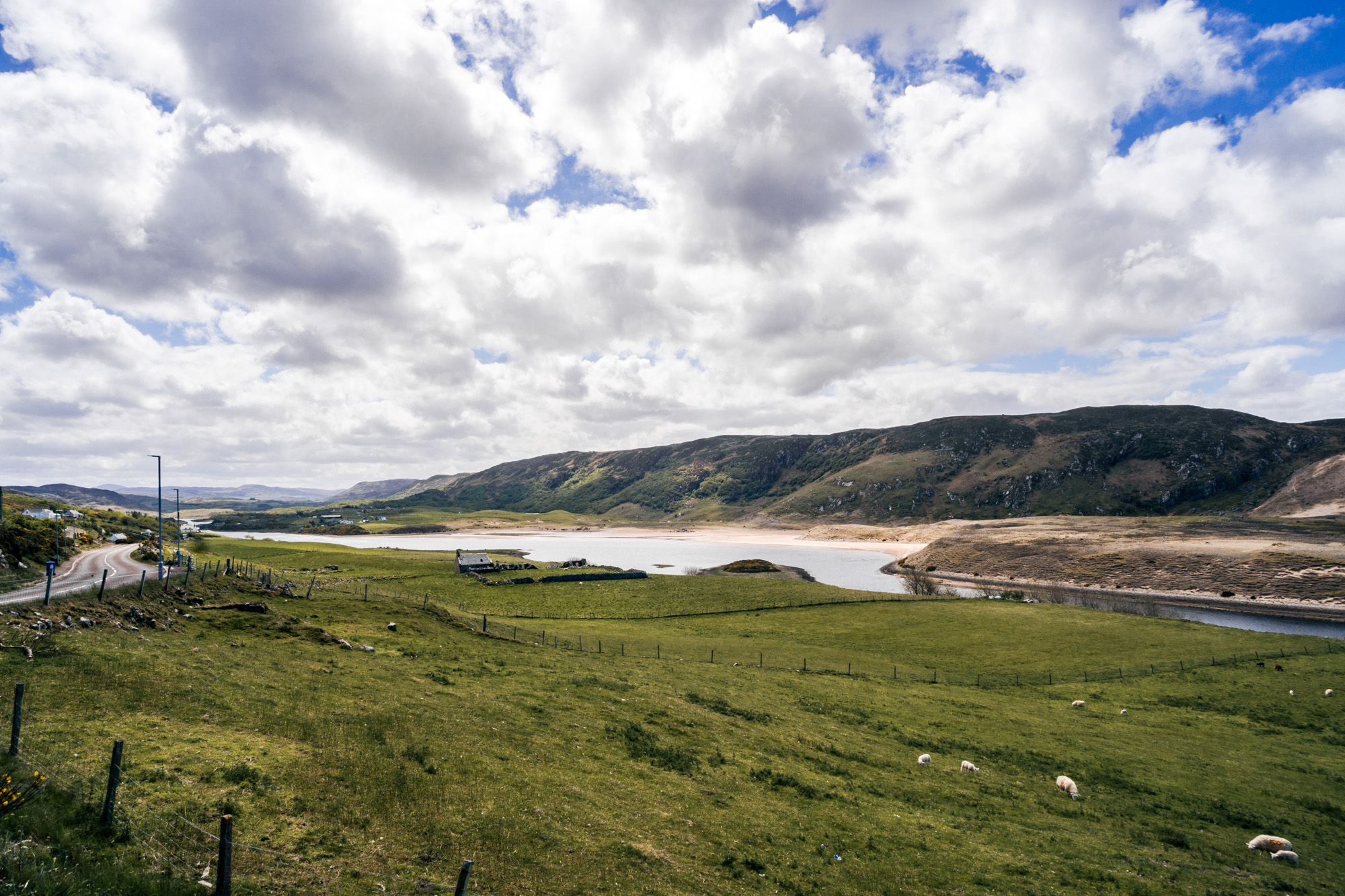
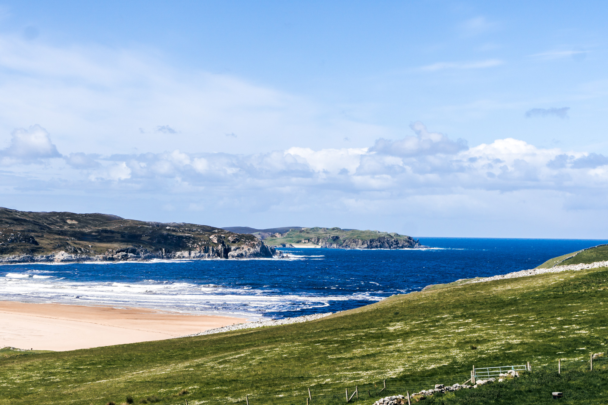
We drove down the A836, stopping off at Bettyhill viewpoint before getting to Bettyhill itself. At first we drove past it, looking out the window at the view, but quickly turned around and went back. It was a lovely little place, with truly one of the best beachy views I've ever seen! It would look good in a drone photo, but since I don't own one, I had to try my best from the highest place I could get to! The day had turned out to be nice and sunny, with blue skies, so it all looked very pretty.
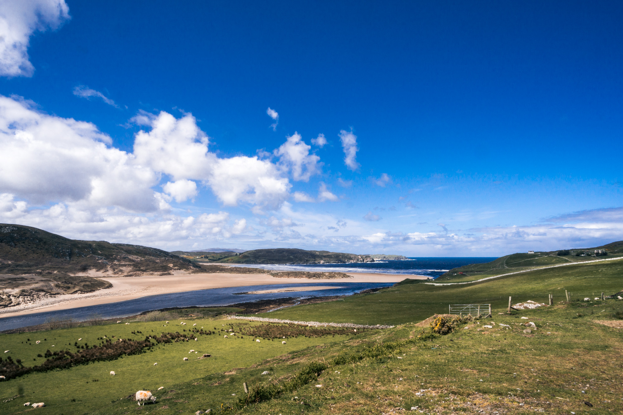
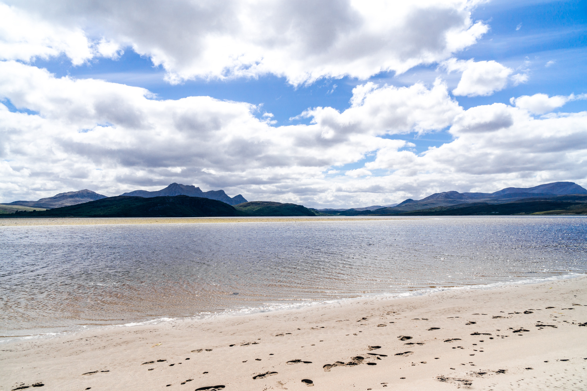
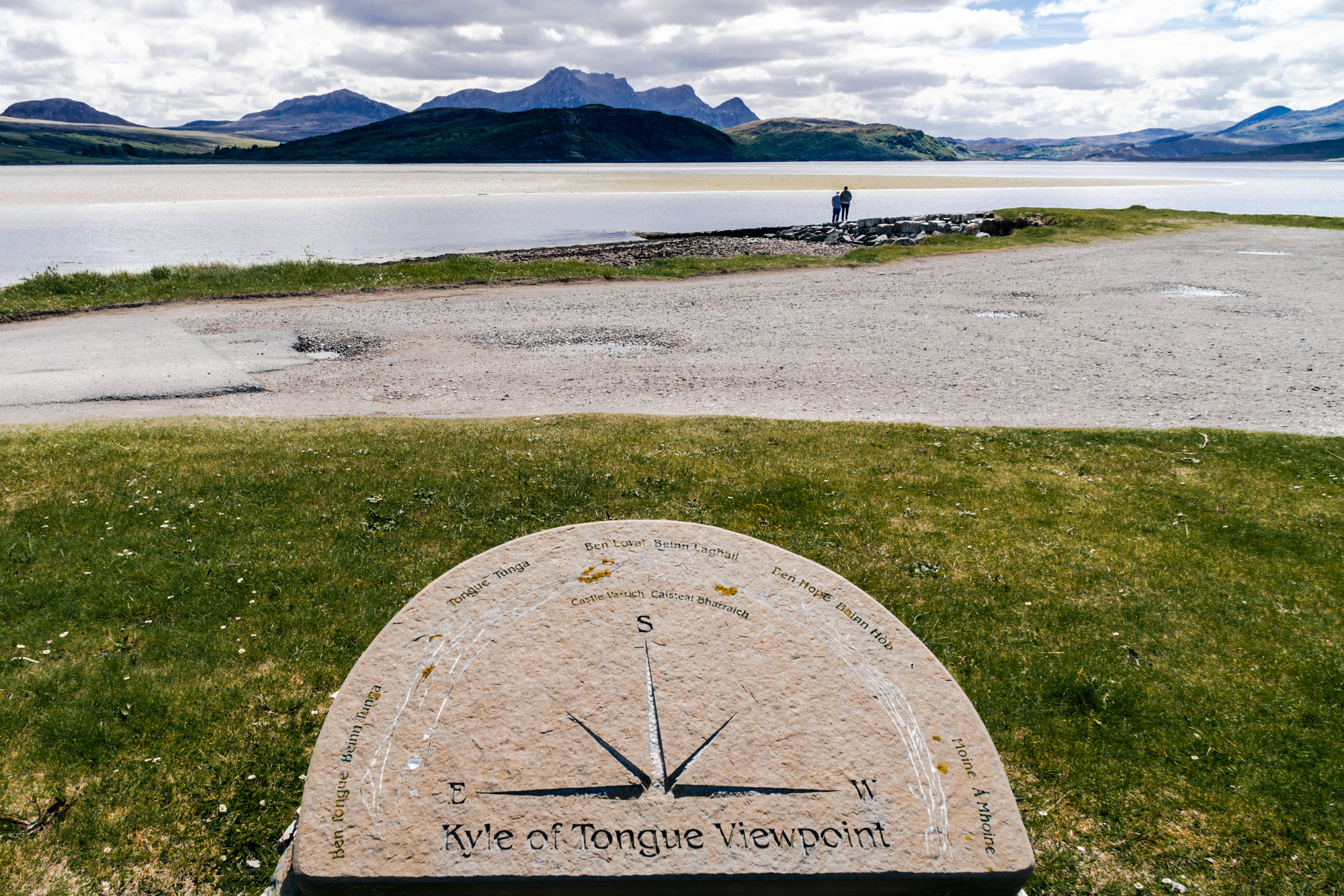
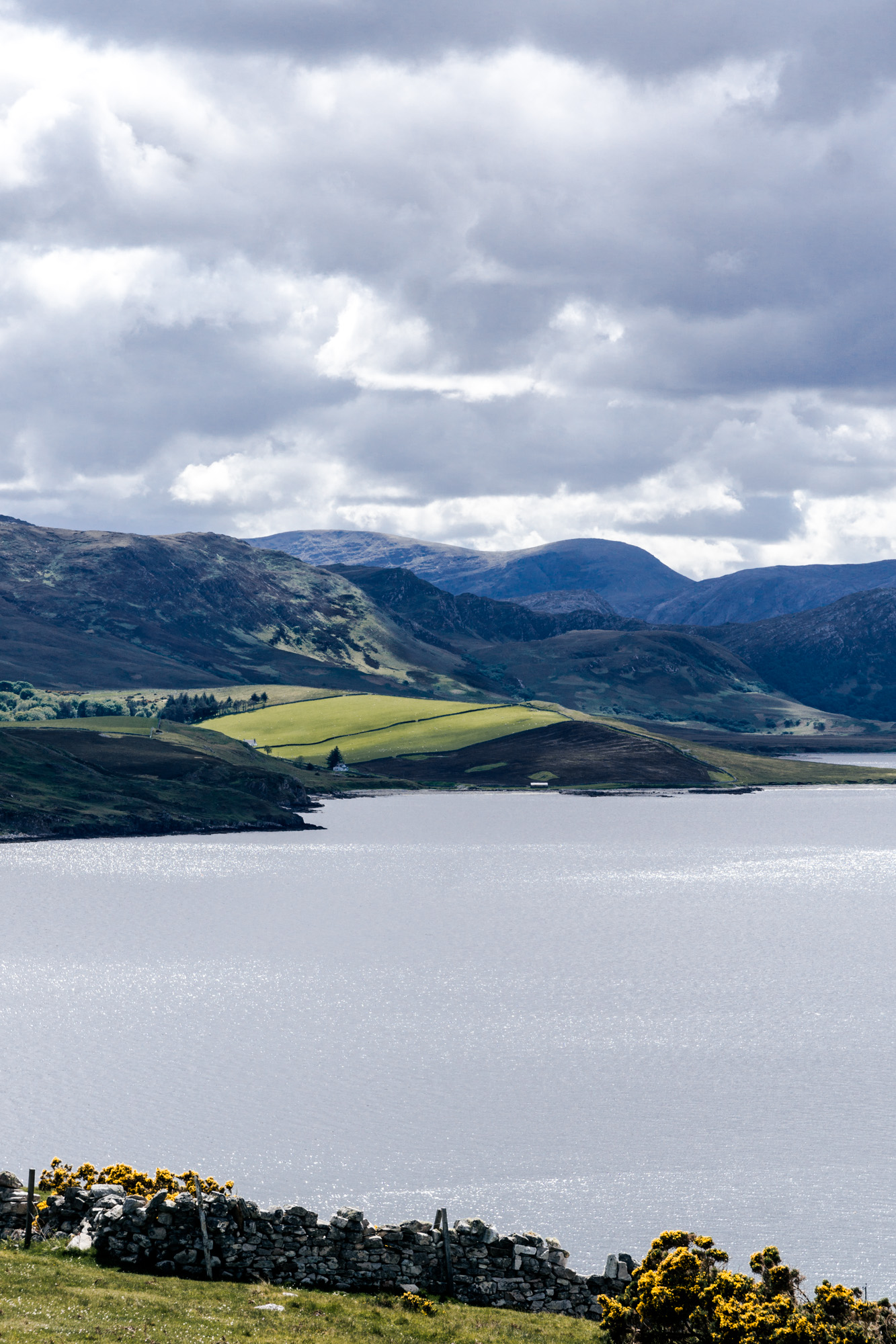
Back down the road we went, and we drove until we saw the carpark at the Kyle of Tongue, where we stopped. It was definitely lunch time! Plus also the view wasn't too shabby either!
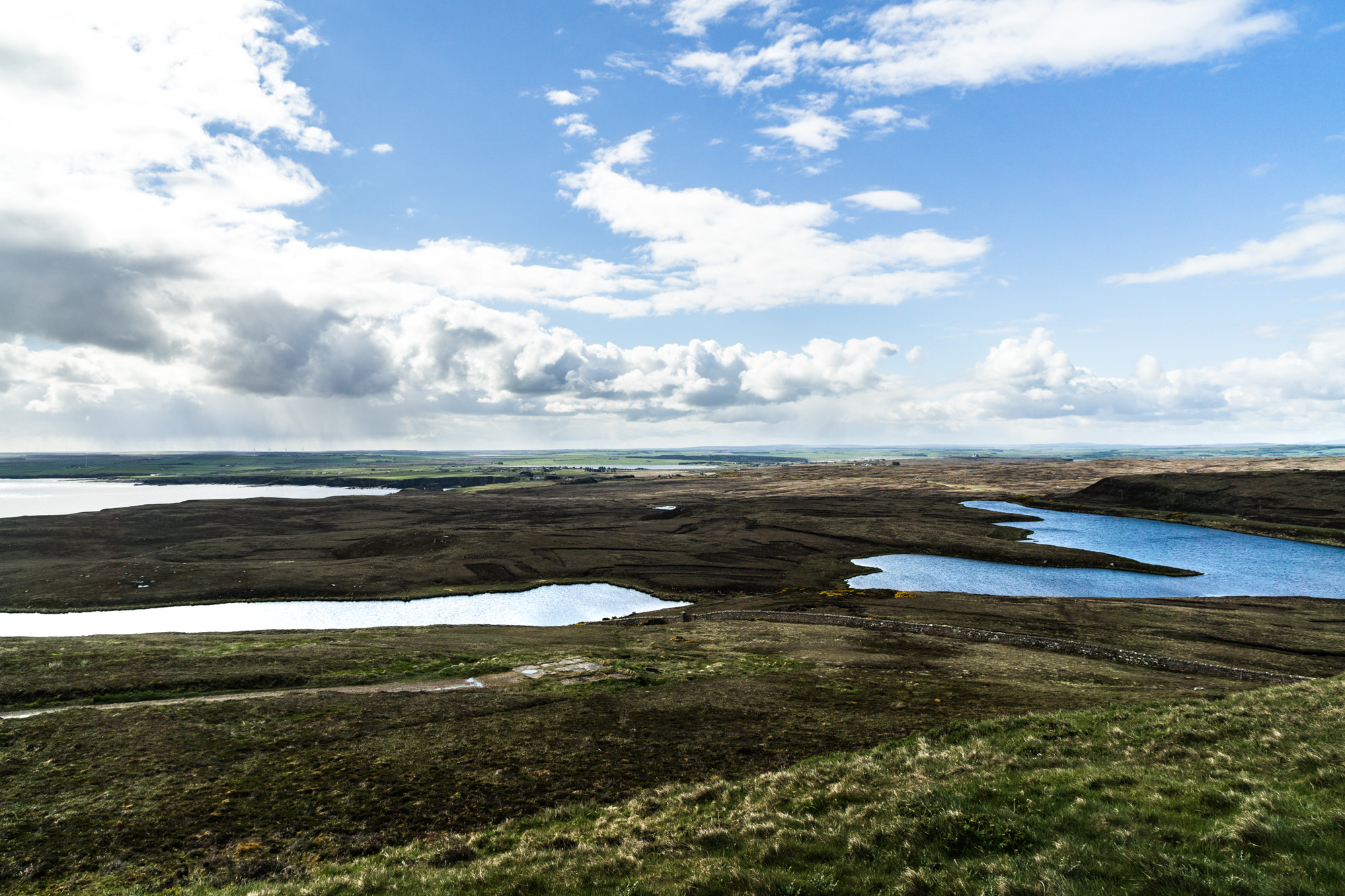
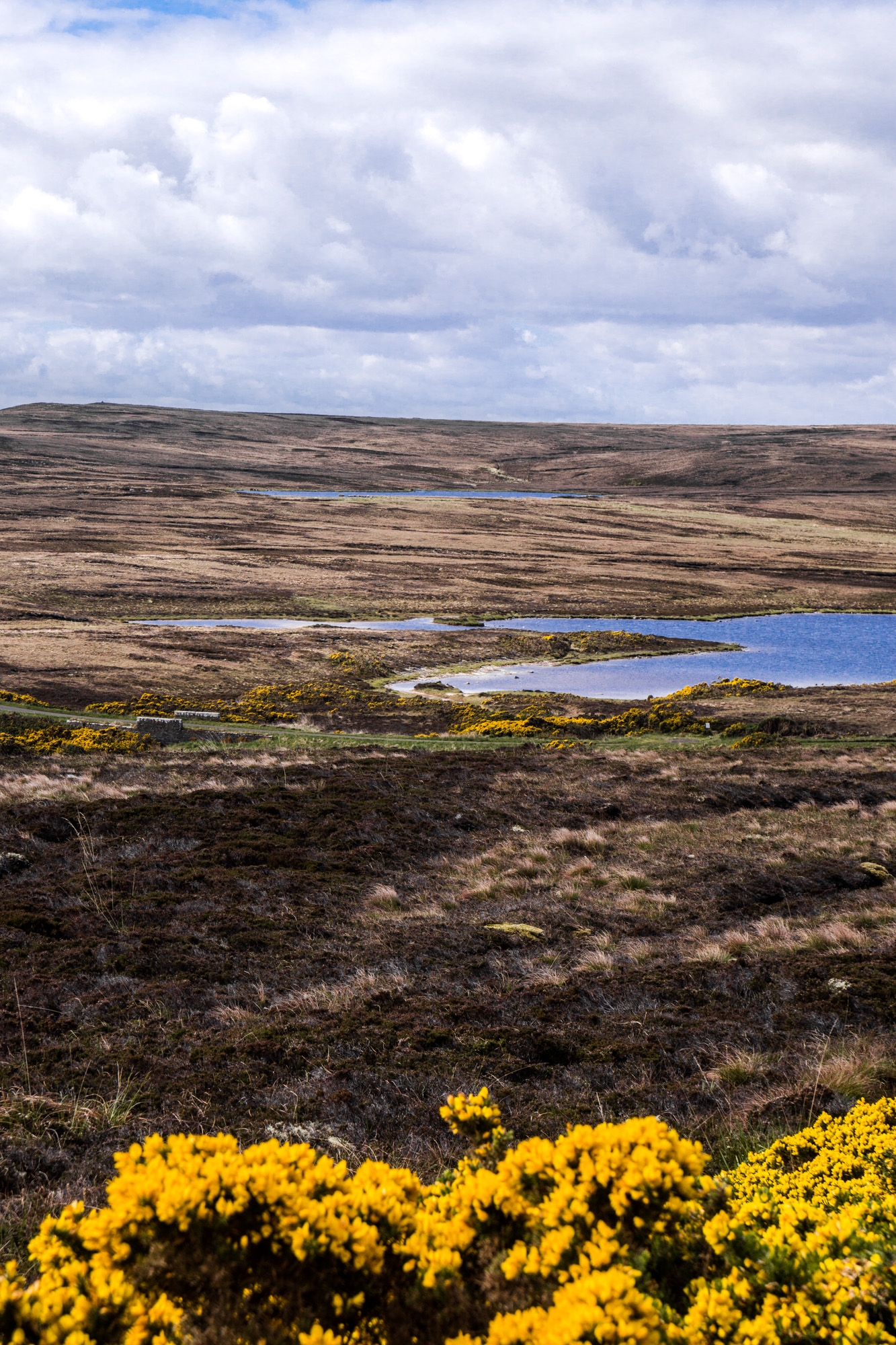
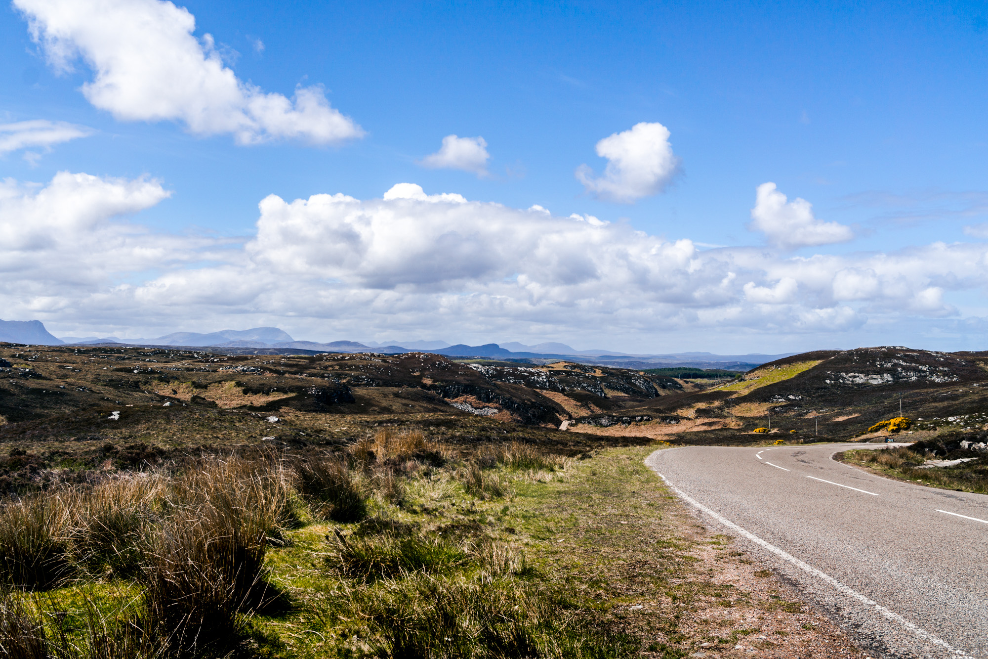
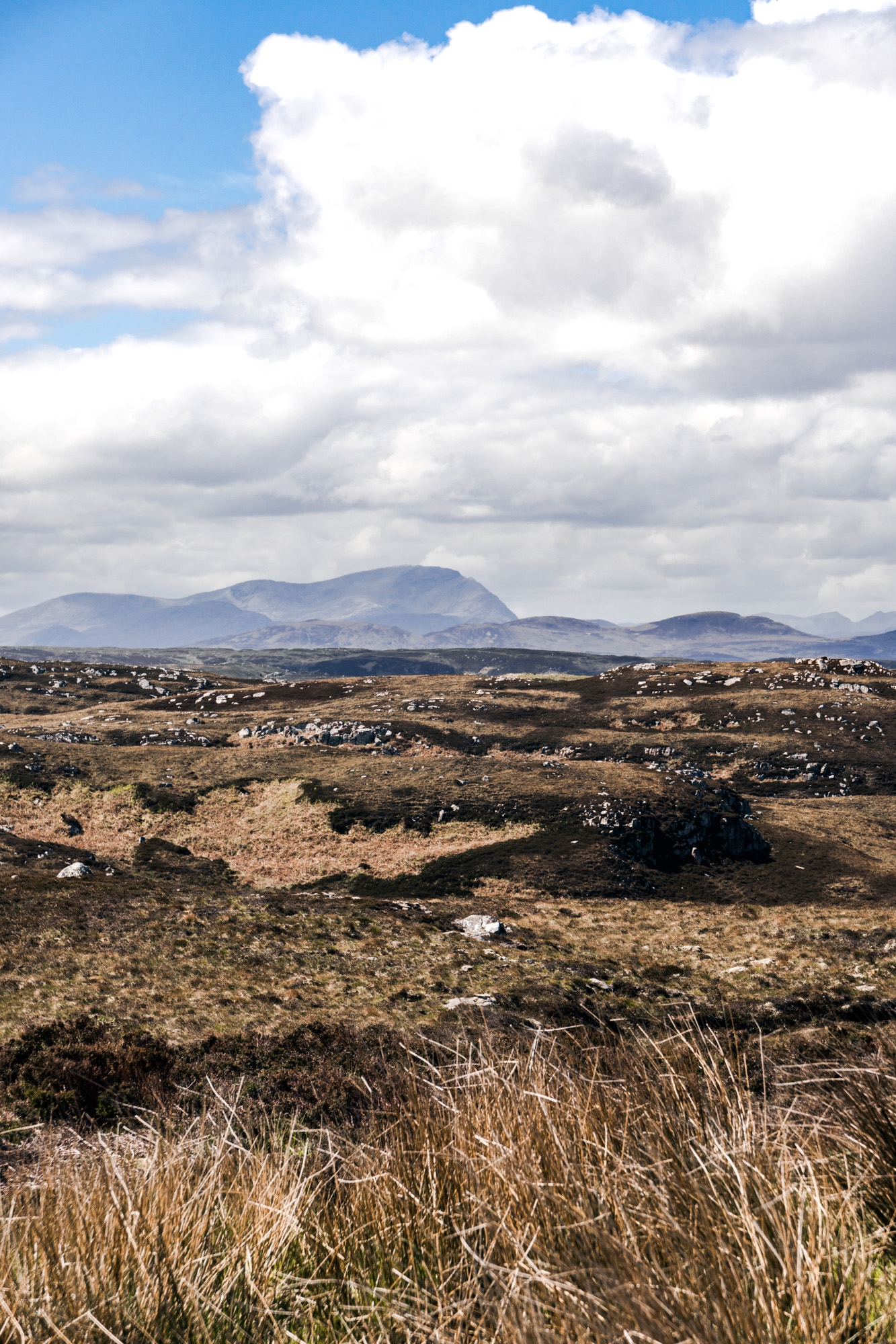
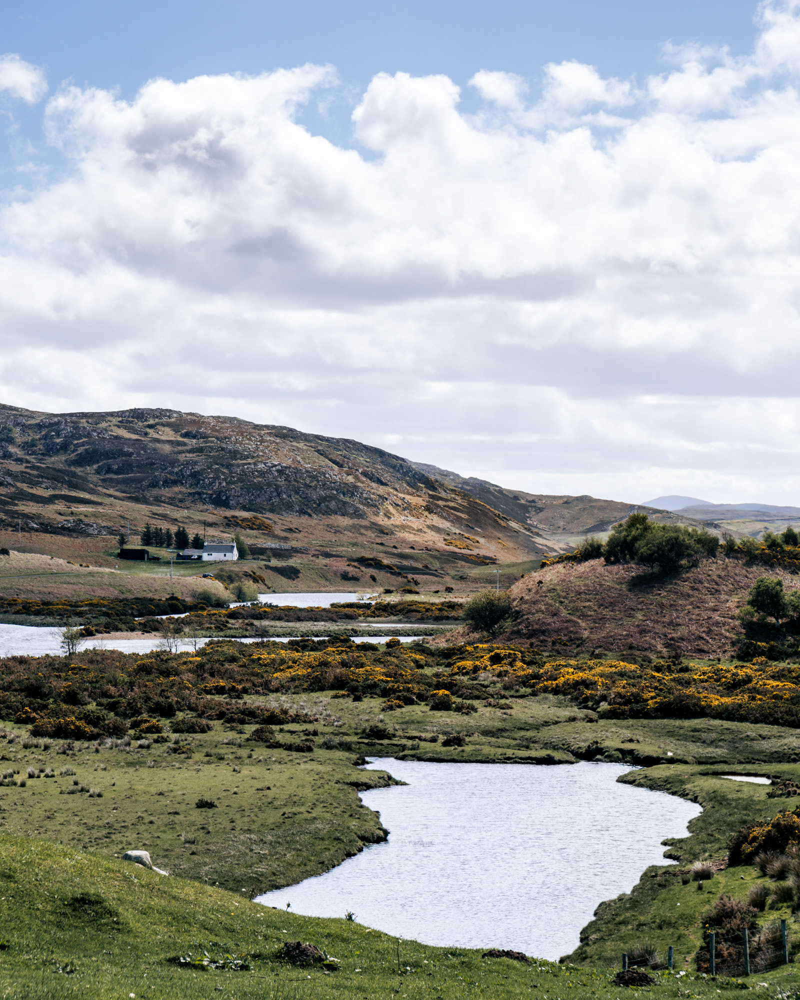
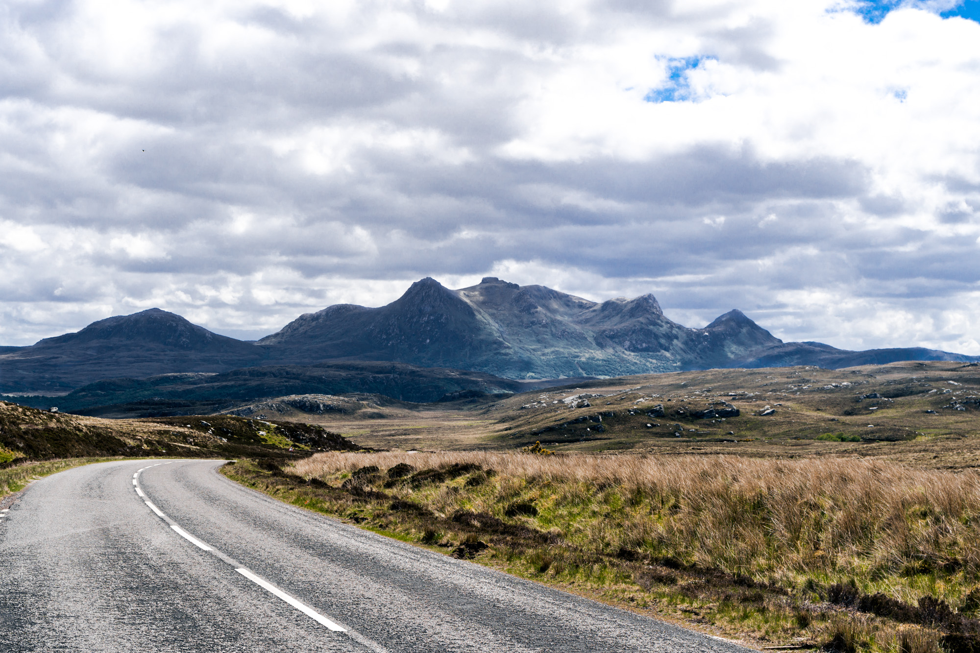
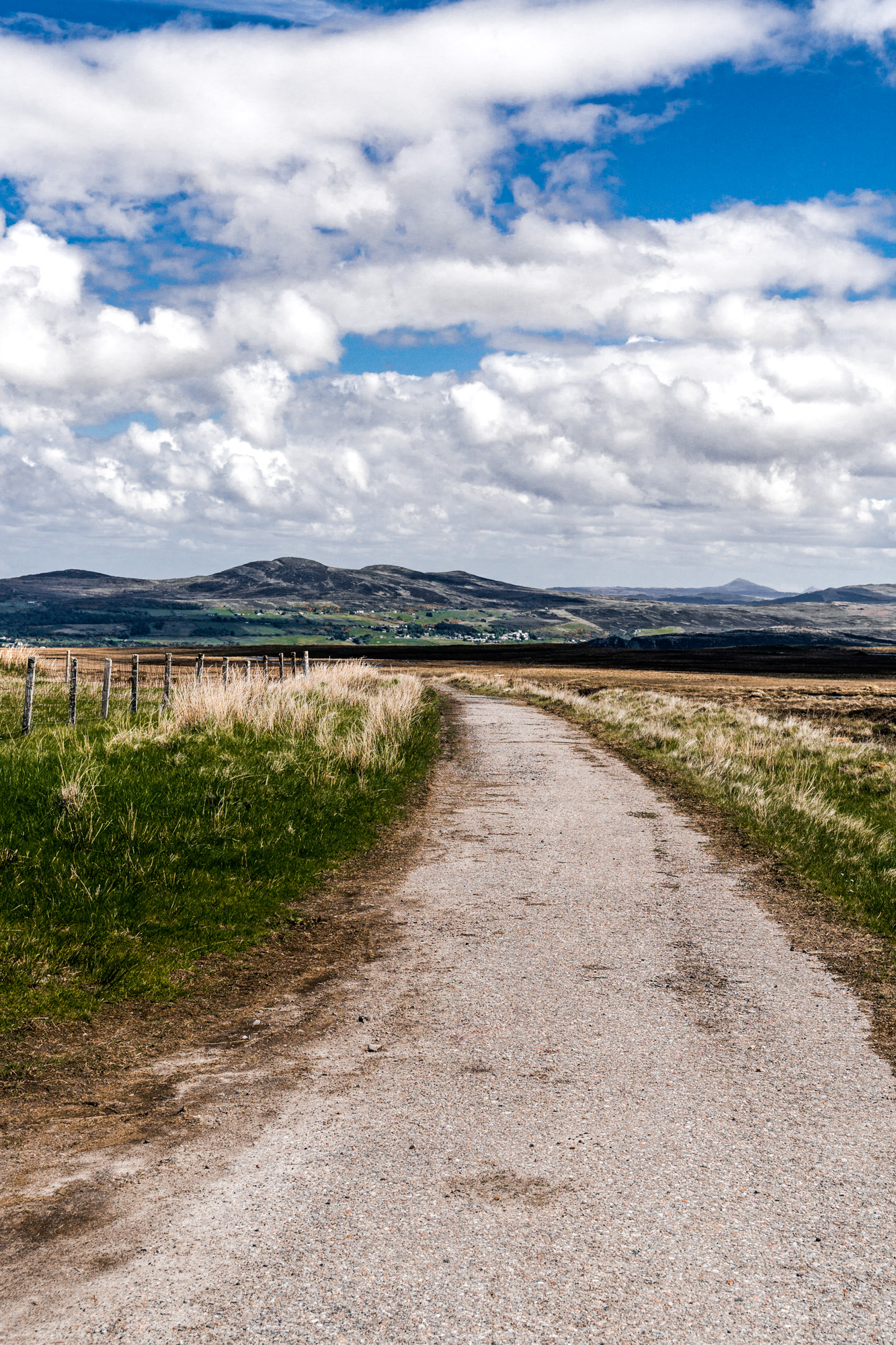
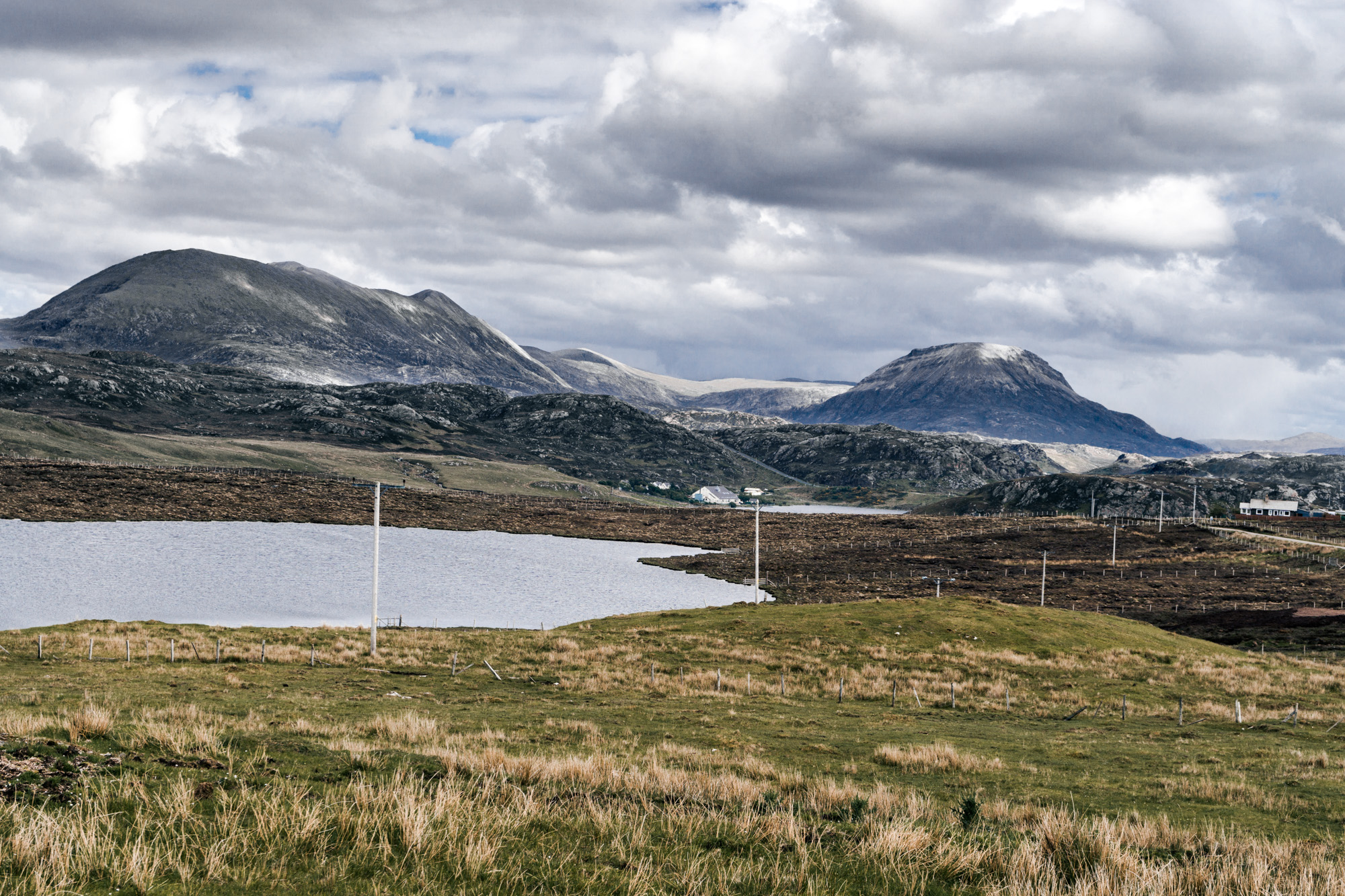
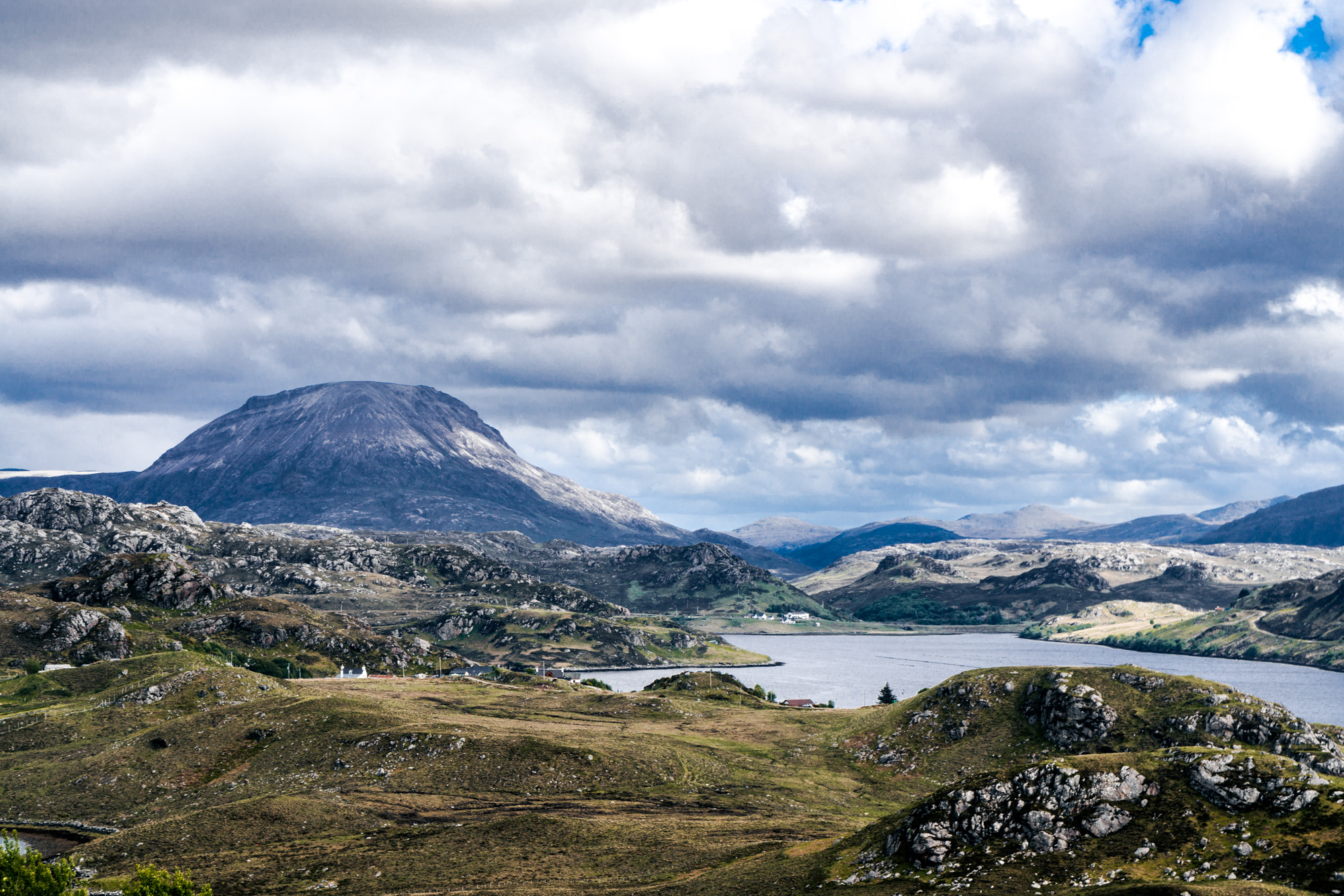
From there, we crossed the Kyle into what is called The Moine. This is a large area at the top of Scotland between the Kyle and Loch Eriboll of heather moor and peat moss. There is very little there, which has deterred transport, trade and other human activity throughout history. This area has a lot of significance for geologists, apparently because it was one of the first areas where you could prove the theory of plate tectonics, but for me it was just quite lonely and desolate.
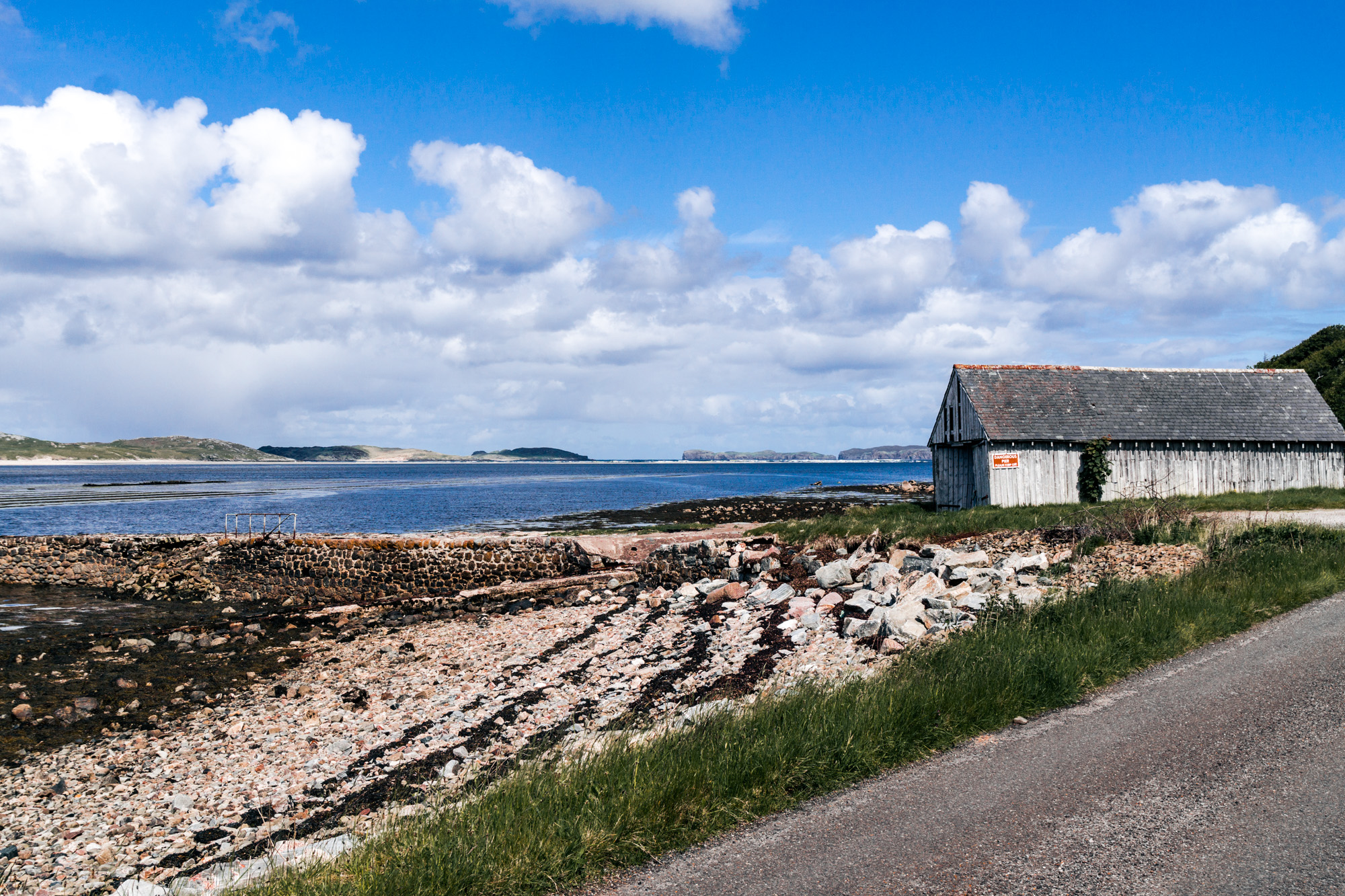
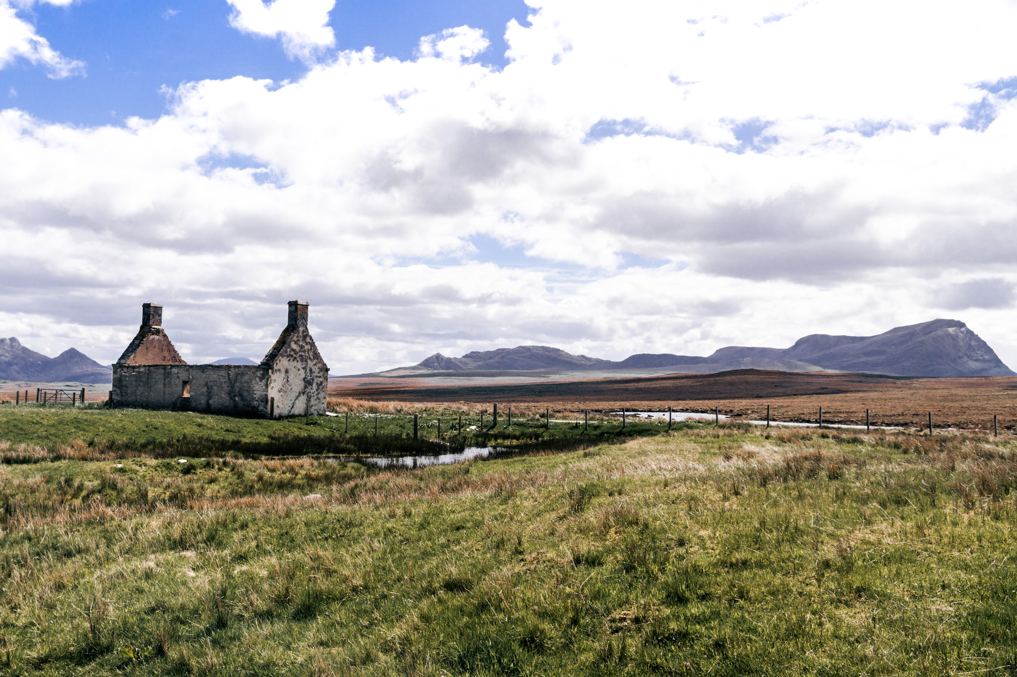
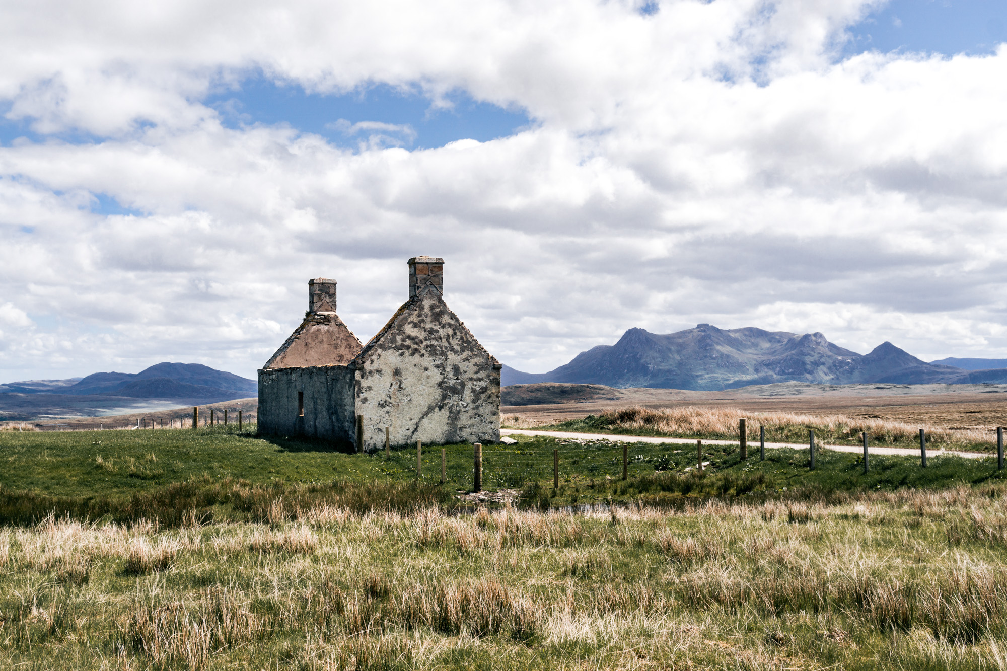
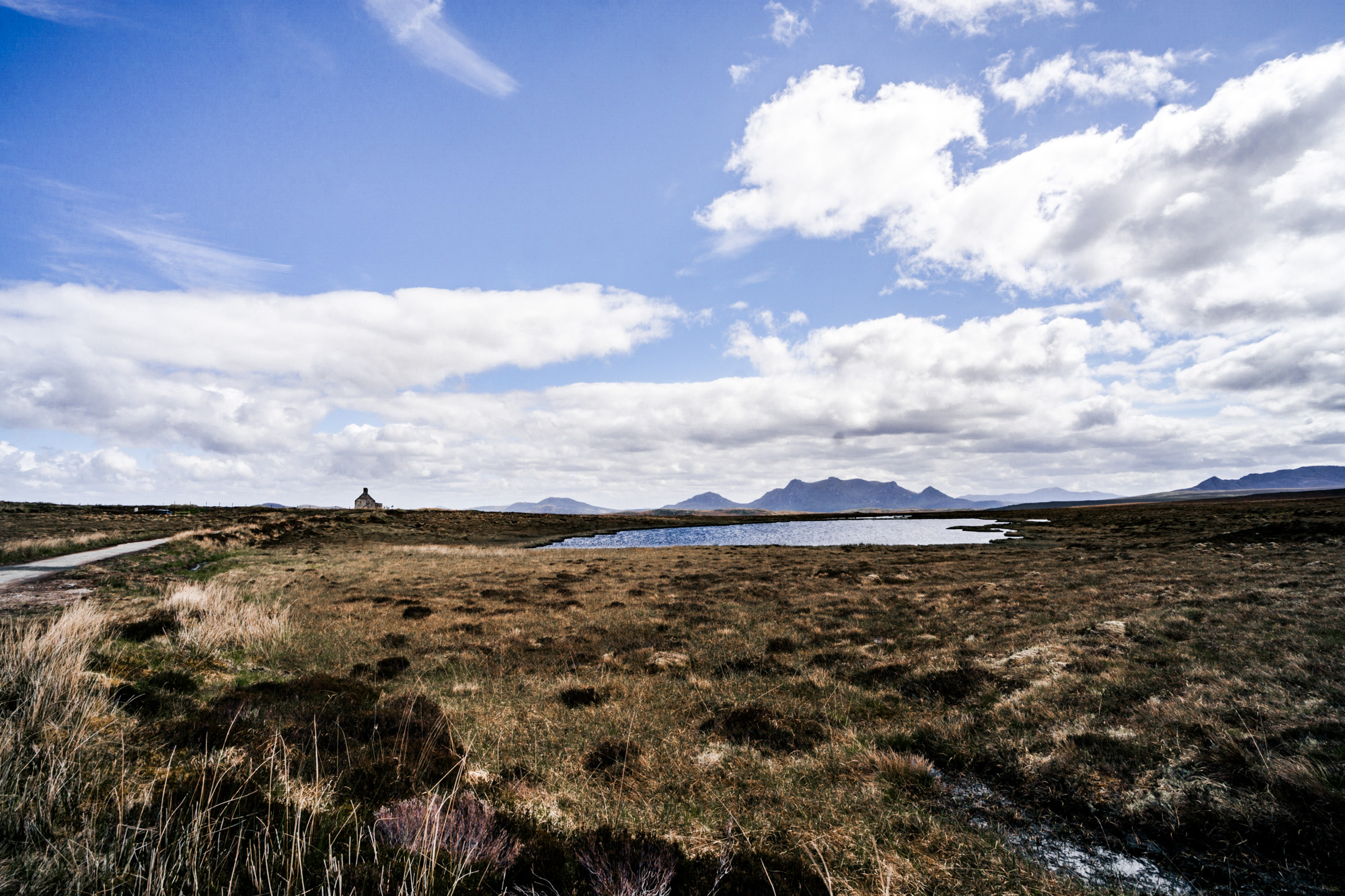
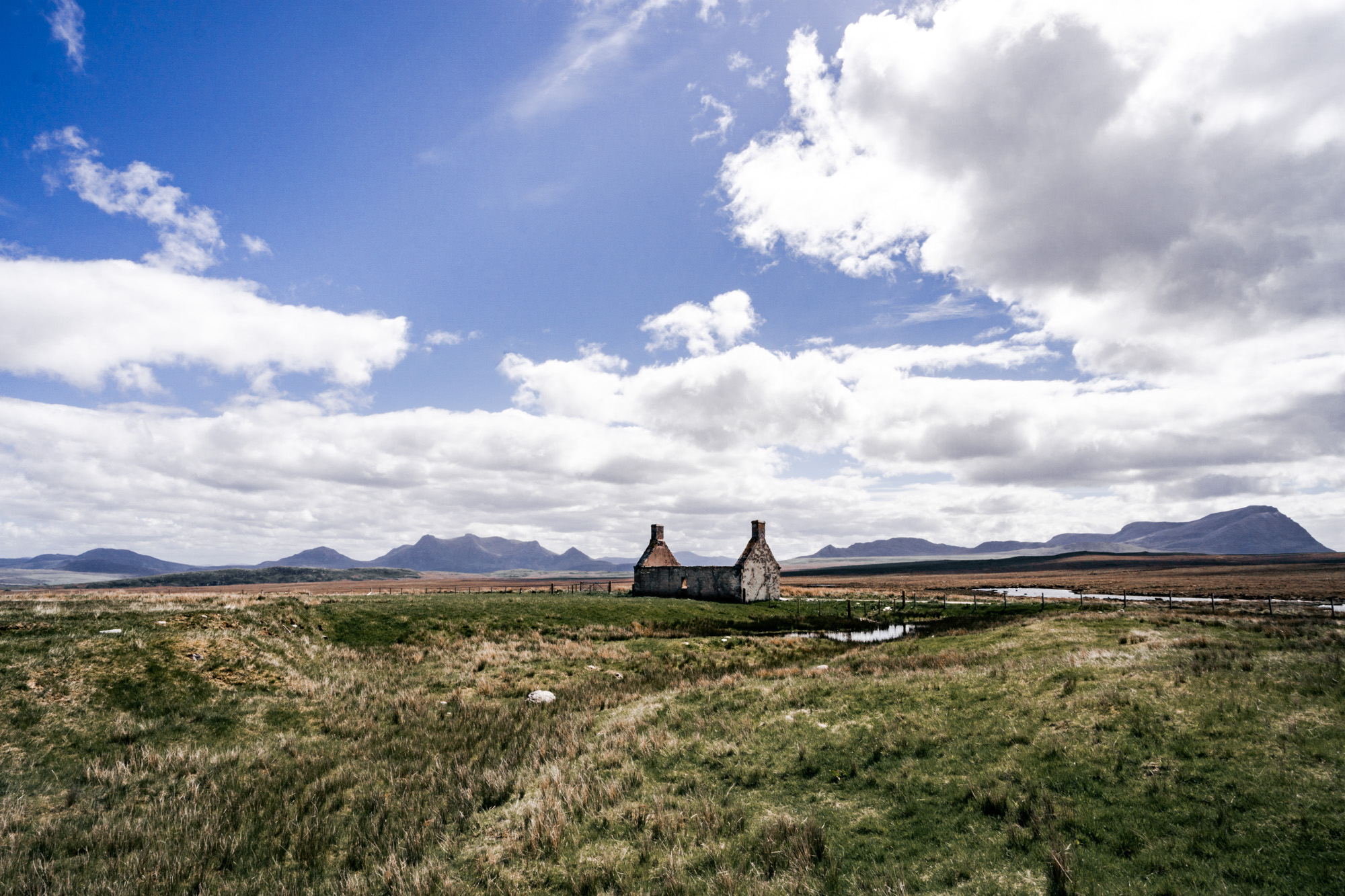
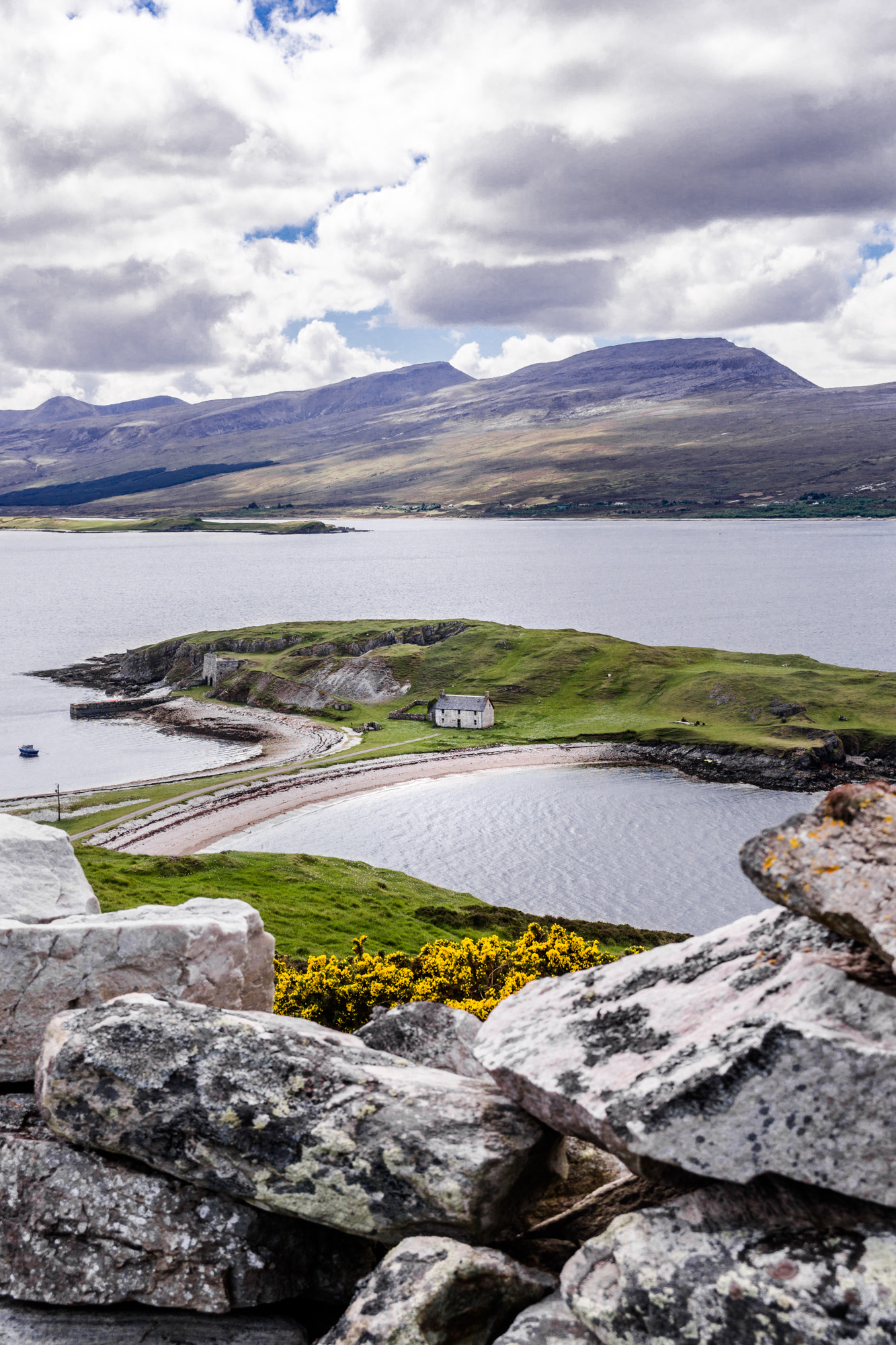
We spotted a structure and pulled off the road to go and have a look. This was Moine House, built along the first good road across The Moine. This road was built in 1830 over the heather and peat of the region and had to keep being fixed as it kept sinking. The Moine House was built as a halfway stop across The Moine, and they welcomed travellers, as it was, and probably still is, the only location to stop in the region. I can't remember seeing any other properties. It has lost its roof, but still looks quite sturdy.
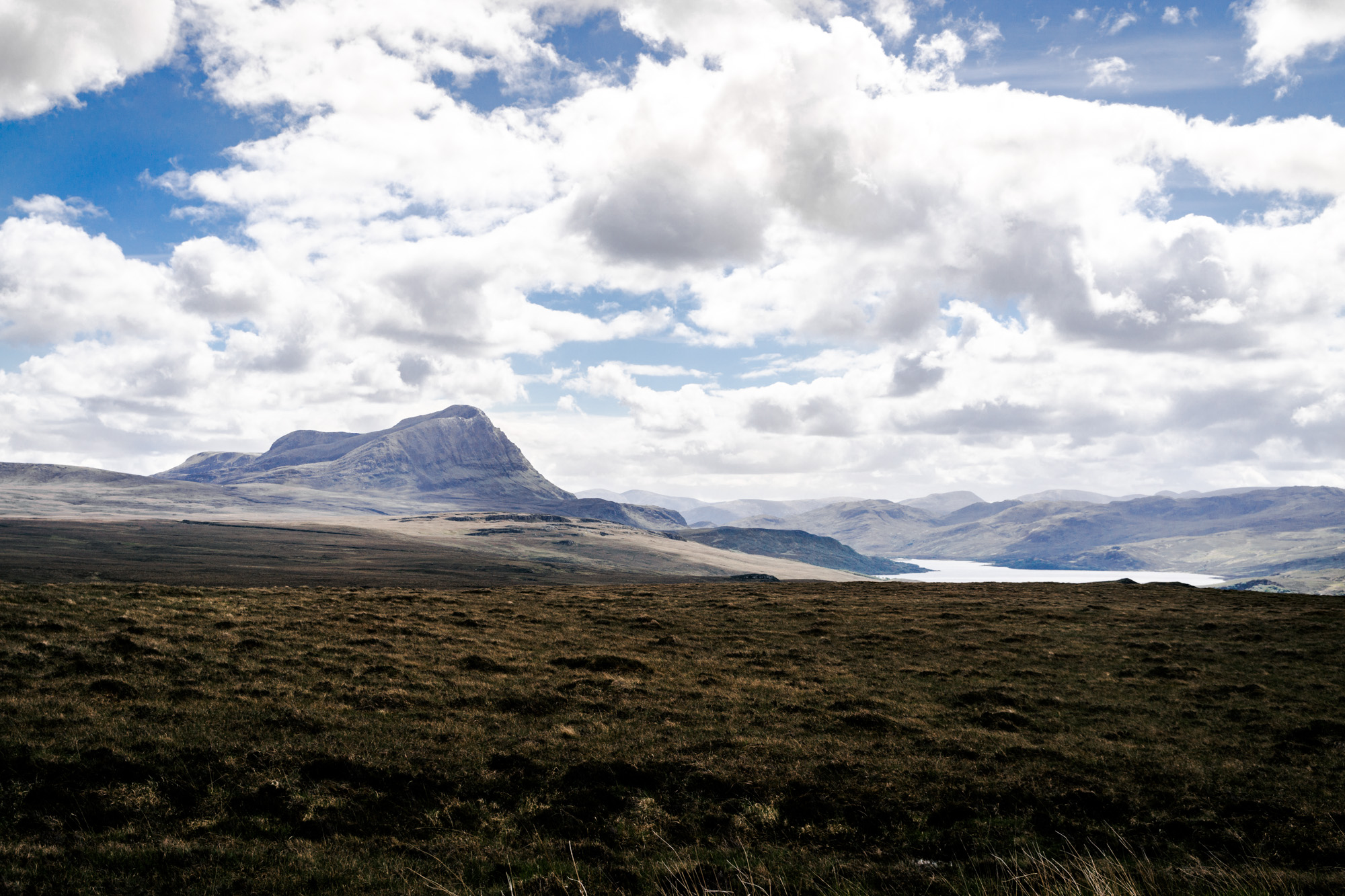
Going back over this day to write this post, I'm surprised that we stopped at so many places! There was nothing on our map at all that we'd made note of to look at... Turns out that Scotland has some surprises up its sleeve! The next stop was a viewpoint along the A838 road called Heliam Lairg. It was downright stunning.

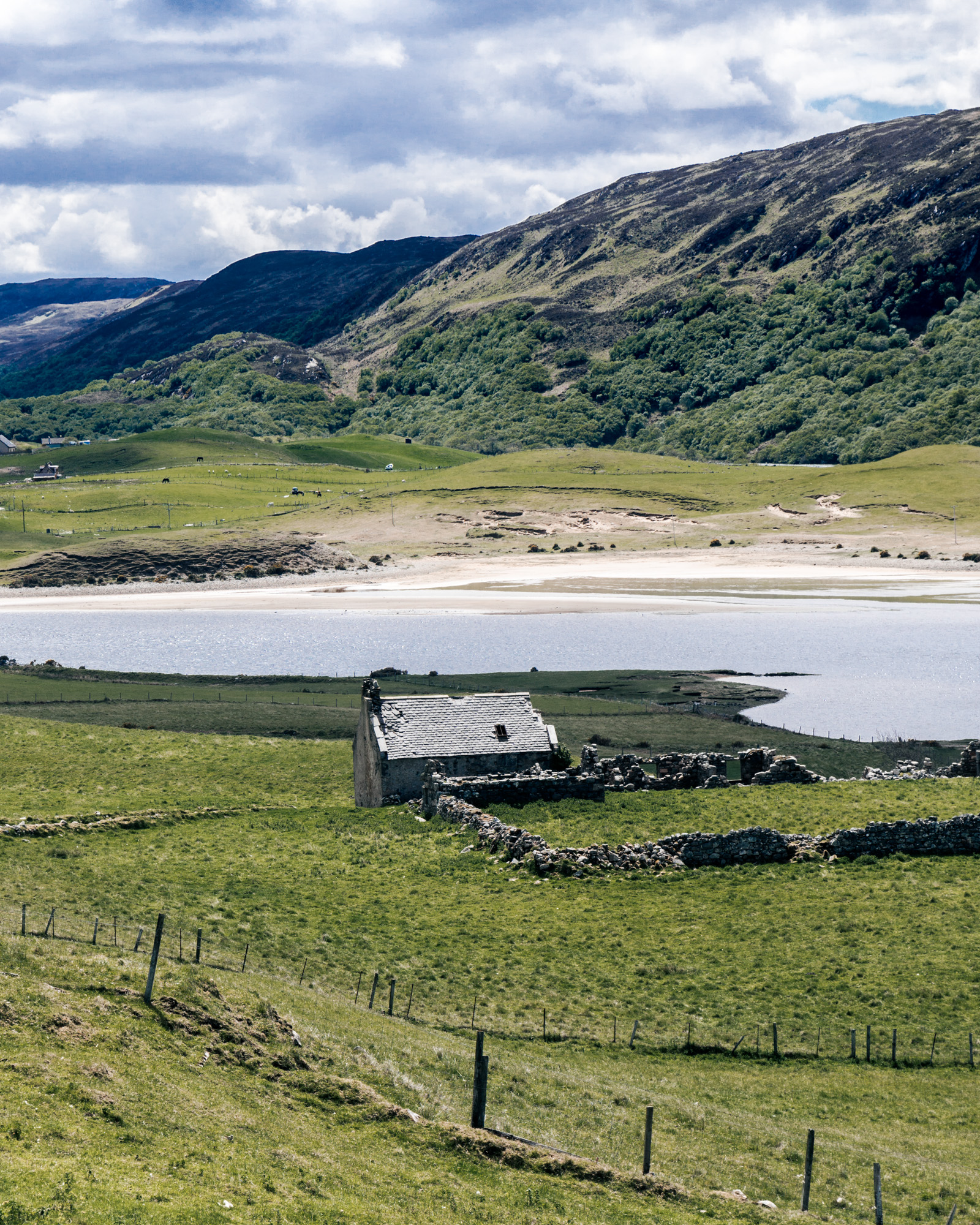
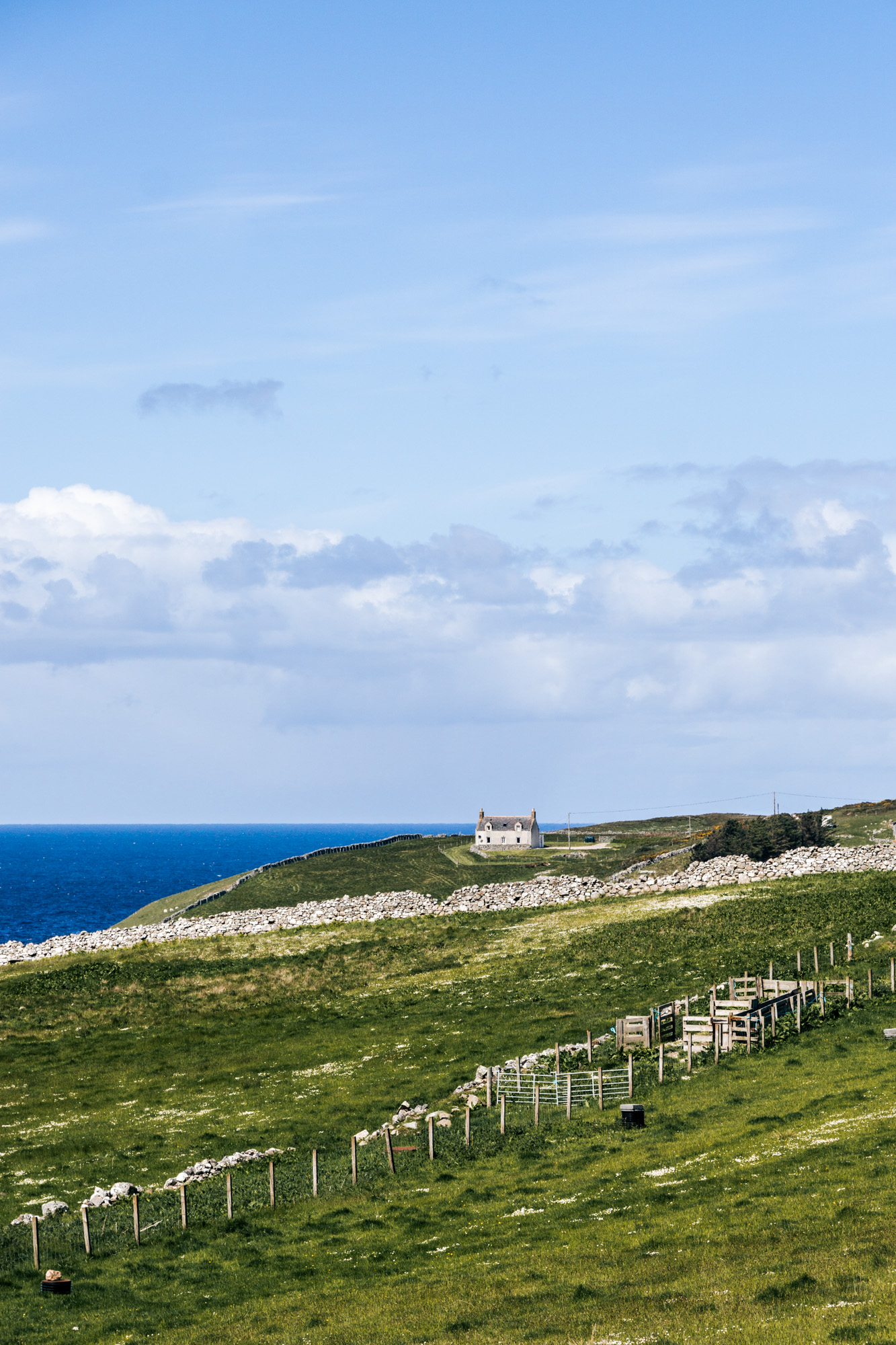
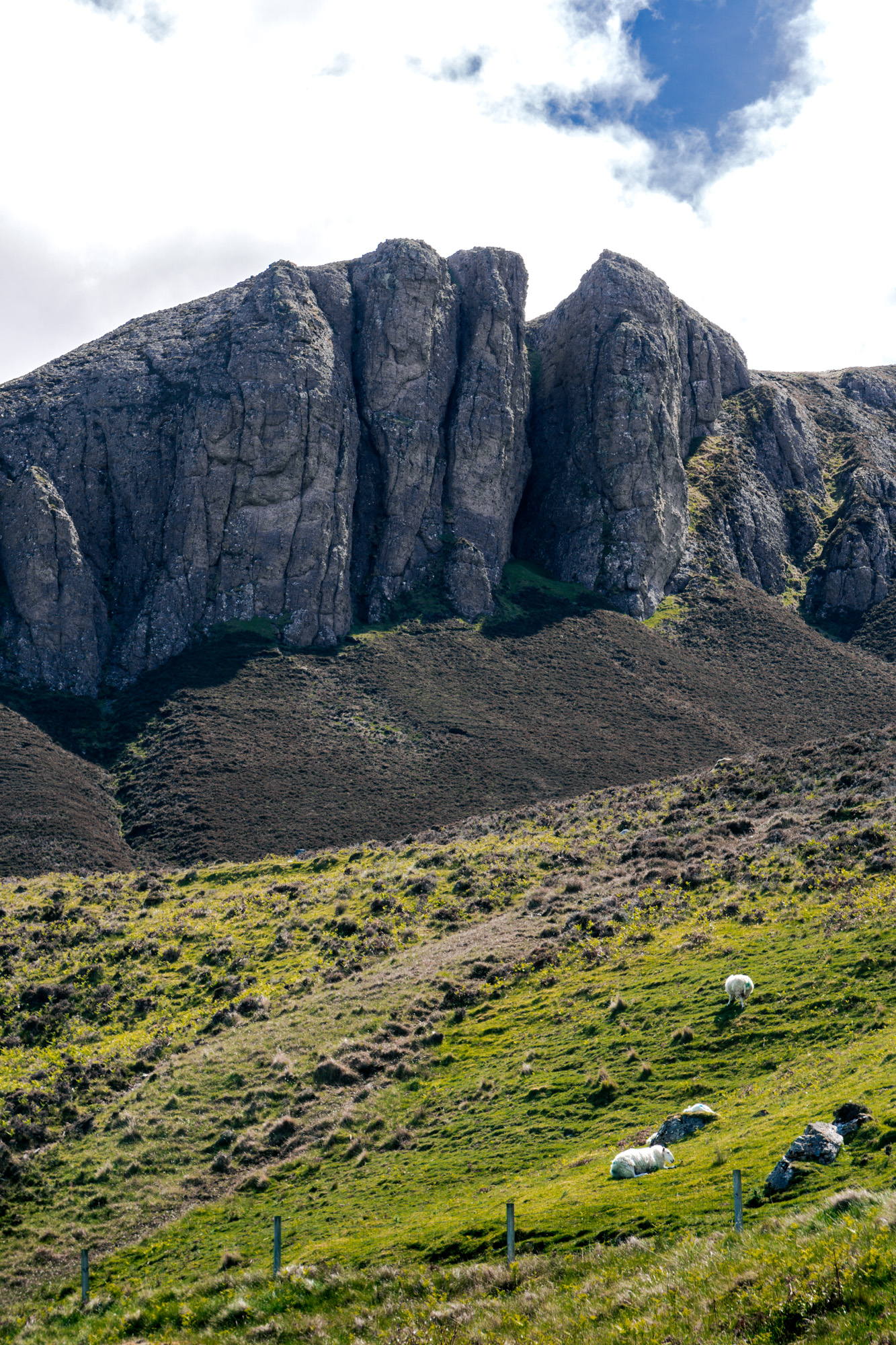
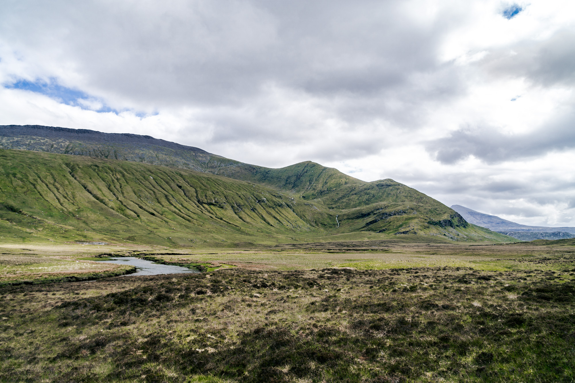
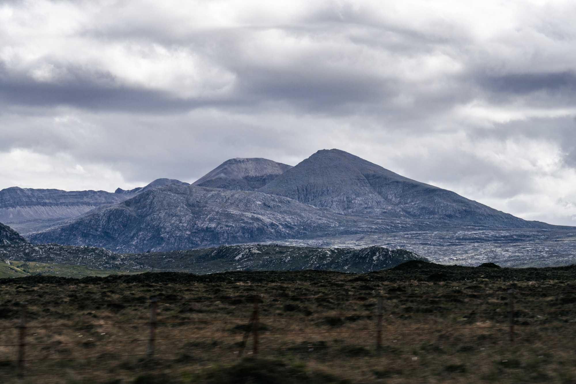
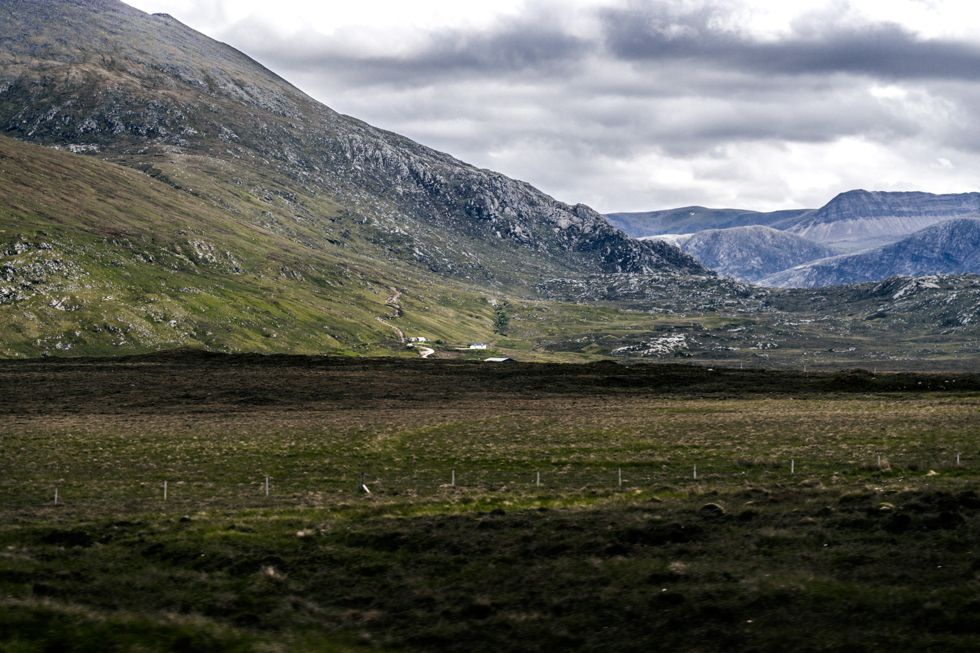
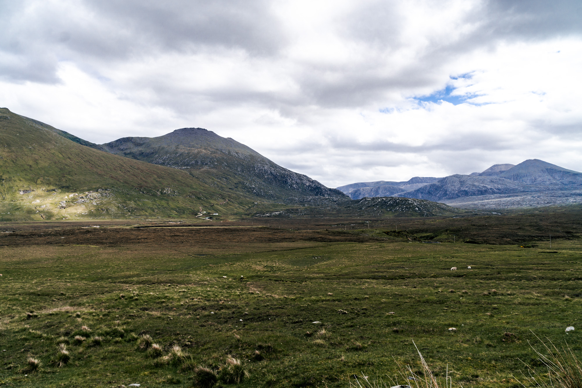
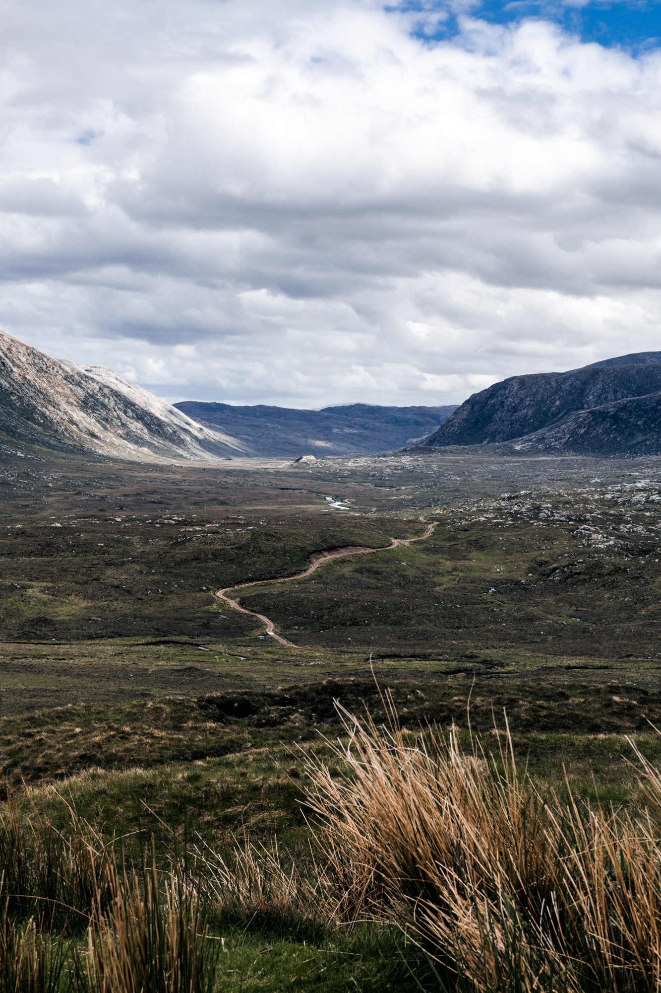
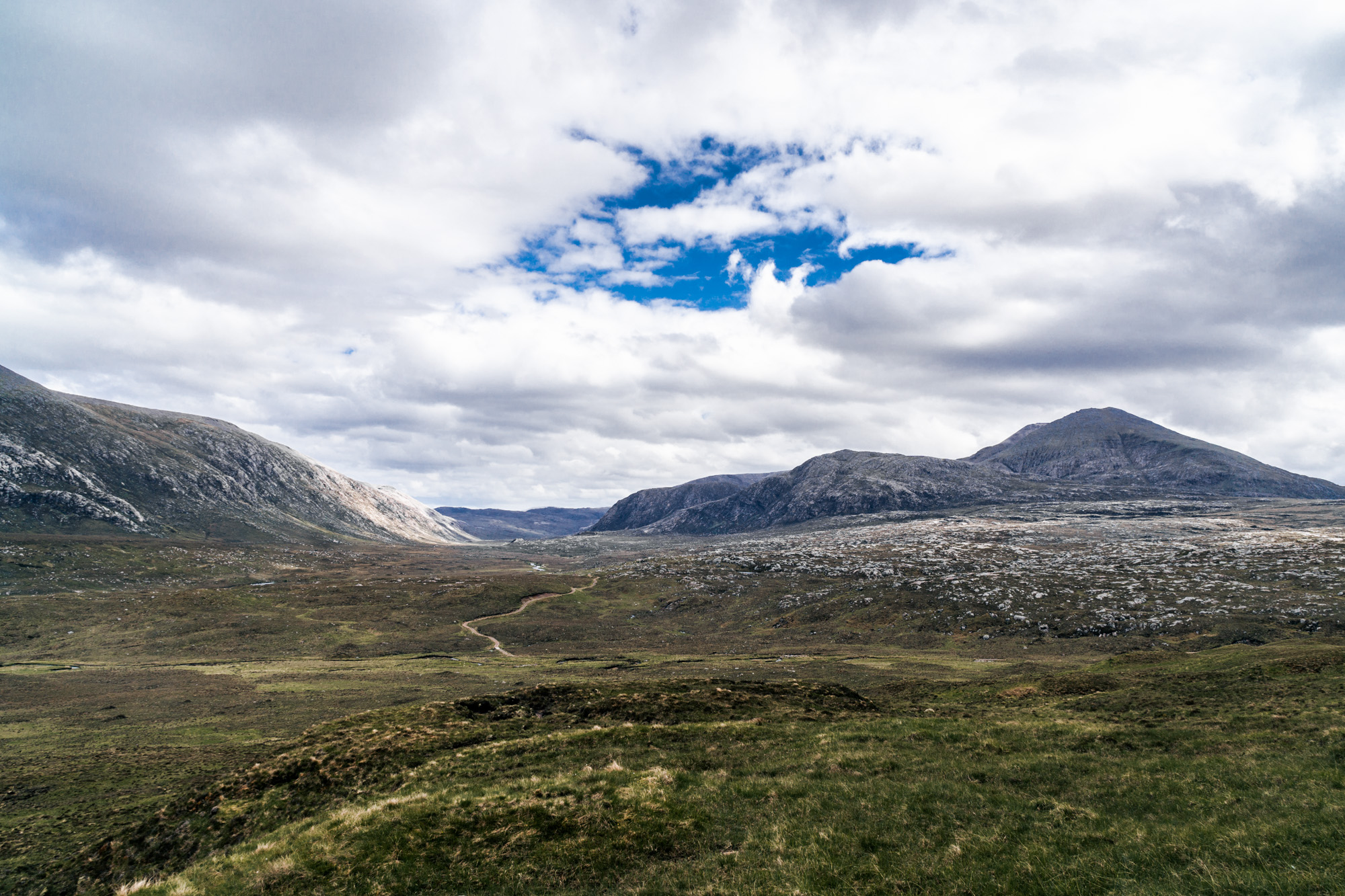
A lot of the northwest of Scotland is quite impassable, with not even a road that goes around the whole thing. So after driving around Loch Eriboll, we drove down to Rhiconich. There was a road out to a place called Kinlochbervie, and we decided to detour out there. The landscapes were so beautiful, though there was never anywhere to stop (stopping in a passing place is a huge no-no!), so a couple of these below are from the car as we were moving slowly!
We retraced our steps then stopped off at a campsite in a place called Scourie. It was a really good site and the weather improved while we were there. We settled in after what had been a big day of adventure!